| Lac de Moiry | |
|---|---|
 | |
 Lac de Moiry  Lac de Moiry  Lac de Moiry | |
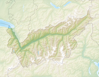
 Map of the lake | |
| Location | Grimentz, Valais |
| Coordinates | 46°7′49″N7°34′14″E / 46.13028°N 7.57056°E |
| Primary outflows | Gougra |
| Basin countries | Switzerland |
| Surface area | 1.40 km2 (0.54 sq mi) |
| Max. depth | 120 m (390 ft) |
| Water volume | 78 million cubic metres (63,000 acre⋅ft) |
| Surface elevation | 2,249 m (7,379 ft) |
| Location | |
 | |
Lac de Moiry is a reservoir in the municipality of Grimentz, Switzerland. [1]