Grenadines is an administrative parish of Saint Vincent and the Grenadines, comprising the islands of the Grenadines other than those belonging to Grenada. The capital is Port Elizabeth.
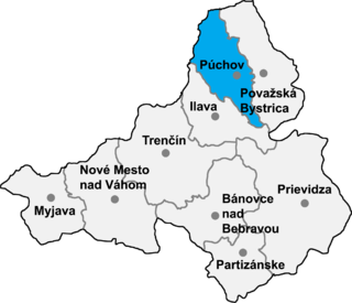
Mojtín is a village and municipality in Púchov District in the Trenčín Region of north-western Slovakia. László Skultéty, the oldest Hungarian hussar, was born here.

Kunbaracs is a village in Bács-Kiskun county, in the district of Kecskemét city, in the Southern Great Plain region of southern Hungary. As of 2015, its population was 618, which makes it the smallest settlement in this area.
Álmosd is a village in Hajdú-Bihar county, in the Northern Great Plain region of eastern Hungary.

Villamontán de la Valduerna is a municipality located in the province of León, Castile and León, Spain. According to the 2008 census (INE), the municipality has a population of 941 inhabitants. In addition to Villamontán, the municipality includes the villages of Fresno de la Valduerna, Miñambres de la Valduerna, Posada de la Valduerna, Redelga de la Valduerna, Valle de la Valduerna and Villalís de la Valduerna.
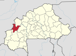
Lanfiera is a department or commune of Sourou Province in north-western Burkina Faso. Its capital lies at the town of Lanfiera.
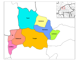
Bonza is a town in the Solenzo Department of Banwa Province in western Burkina Faso. As of 2005 it had a population of 5,209.
Dira is a town in the Solenzo Department of Banwa Province in western Burkina Faso. As of 2005 it had a population of 3,209.

Tyszki-Łabno is a village in the administrative district of Gmina Kolno, within Kolno County, Podlaskie Voivodeship, in north-eastern Poland. It lies approximately 4 kilometres (2 mi) east of Kolno and 86 km (53 mi) north-west of the regional capital Białystok.
Tybory Uszyńskie is a village in the administrative district of Gmina Kulesze Kościelne, within Wysokie Mazowieckie County, Podlaskie Voivodeship, in north-eastern Poland. It lies approximately 10 kilometres (6 mi) north-west of Wysokie Mazowieckie and 53 km (33 mi) west of the regional capital Białystok.
Wypychów is a village in the administrative district of Gmina Zgierz, within Zgierz County, Łódź Voivodeship, in central Poland. It lies approximately 15 kilometres (9 mi) north of Zgierz and 23 km (14 mi) north of the regional capital Łódź.
Niżatyce is a village in the administrative district of Gmina Kańczuga, within Przeworsk County, Subcarpathian Voivodeship, in south-eastern Poland. It lies approximately 3 kilometres (2 mi) south-east of Kańczuga, 11 km (7 mi) south-west of Przeworsk, and 30 km (19 mi) east of the regional capital Rzeszów.
Chruślice is a village in the administrative district of Gmina Wolanów, within Radom County, Masovian Voivodeship, in east-central Poland. It lies approximately 13 kilometres (8 mi) west of Radom and 89 km (55 mi) south of Warsaw.
Biskupice is a village in the administrative district of Gmina Przemęt, within Wolsztyn County, Greater Poland Voivodeship, in west-central Poland. It lies approximately 9 kilometres (6 mi) south-east of Przemęt, 26 km (16 mi) south-east of Wolsztyn, and 58 km (36 mi) south-west of the regional capital Poznań.

Boula is a town and sub-prefecture in the Kankan Prefecture in the Kankan Region of eastern Guinea. As of 2014 it had a population of 15,763 people.
Dolna Krushitsa is a village in Petrich Municipality, in Blagoevgrad Province, Bulgaria.
Ritya postcode 5370 is a village in Dryanovo Municipality, in Gabrovo Province, in northern central Bulgaria.
Üüvere is a village in Saaremaa Parish, Saare County in western Estonia.
Diaka, Burkina Faso is a town in the Thion Department of Gnagna Province in eastern Burkina Faso. The town has a population of 2,479.