Weiz is a town in the eastern part of the Austrian state of Styria.
Bartholomäberg is a municipality and a village in the district of Bludenz in the Austrian state of Vorarlberg.

Lassee is a town in the district of Gänserndorf in the Austrian state of Lower Austria.

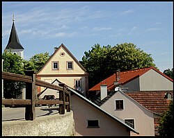
Herzogenburg is a town in the district of Sankt Pölten-Land in the Austrian state of Lower Austria.

Wilhelmsburg is a municipality in the district of Sankt Pölten-Land District in the Austrian state of Lower Austria.

Bad Erlach is a municipality in the district of Wiener Neustadt-Land in the Austrian state of Lower Austria.

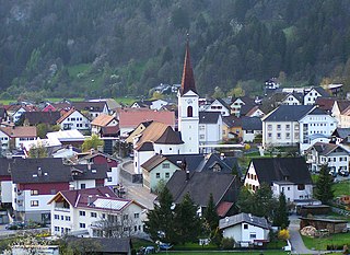
Bludesch is a municipality in the district of Bludenz in the Austrian state of Vorarlberg.
Nüziders is a municipality in the district of Bludenz in the Austrian state of Vorarlberg. It was capital of the historical County of Sonnenberg which is referred to in the formal style of the Emperor of Austria.

Raggal is a municipality in the district of Bludenz in the Austrian state of Vorarlberg.

Sankt Gallenkirch is a municipality in the district of Bludenz in the Austrian state of Vorarlberg.

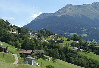
Silbertal is a municipality in the district of Bludenz in the Austrian state of Vorarlberg.
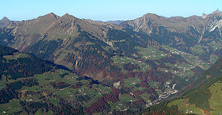
Sonntag is a municipality in the district of Bludenz in the Austrian state of Vorarlberg.
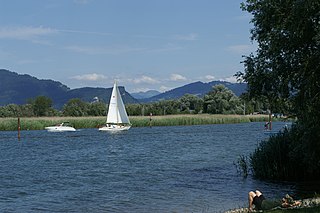
Fußach is a municipality in the district of Bregenz in the Austrian state of Vorarlberg.

Höchst is a municipality in the district of Bregenz in the Austrian state of Vorarlberg.
Hörbranz is a municipality in the district of Bregenz in the Austrian state of Vorarlberg.

Koblach is a municipality in the district of Feldkirch in the Austrian state of Vorarlberg.
Altschwendt is a municipality in the district of Schärding in the Austrian state of Upper Austria.

Frankenmarkt is a municipality in the district of Vöcklabruck in the Austrian state of Upper Austria.

Vöcklamarkt is a municipality in the district of Vöcklabruck in the Austrian state of Upper Austria.

Bad Waltersdorf is a municipality in the district of Hartberg-Fürstenfeld in Styria, Austria.