
Akershus[²ɑːkəʂˌhʉːs](listen) is a county in Norway, bordering Hedmark, Oppland, Buskerud, Oslo, and Østfold; it also has a short border with Sweden (Värmland). Akershus, with a little over 614,000 inhabitants, is the second most populated county by population after Oslo. The county is named after Akershus Fortress. The county administration is in Oslo, which is not part of the county per se.

Hedmark[²heːdmɑrk](listen) is a county in Norway, bordering Trøndelag to the north, Oppland to the west and Akershus to the south. The county administration is in Hamar.

Grønlundfjellet is a village in the municipality of Gjerdrum, Norway. Its population (2005) is 2,174.
Vormsund is a village in the municipality of Nes, Akershus, Norway. Its population (2005) is 461.
Fjellfoten is a village in the municipality of Nes, Akershus, Norway. Its population (2005) is 1,006.
Leirsund is a village in the municipality of Skedsmo, Norway. Its population (2005) is 1,177, of which 83 people live within the border of the neighboring municipality Sørum.

Ilseng was a village in the municipality of Stange, Norway. Its population (2005) was 876, of which 22 people lived within the border of the neighboring municipality Hamar.
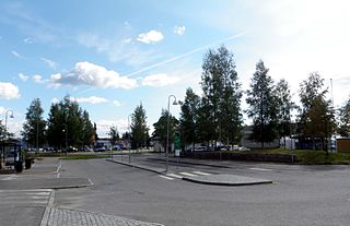
Råholt is a village in the municipality of Eidsvoll, Norway. Its population (2017) is 13 156, of which 259 people live within the border of the neighboring municipality Ullensaker.
Sessvollmoen is a village in the municipality of Ullensaker, Norway. Its population (2005) is 653.
Brårud is a village in the municipality of Nes, Akershus, Norway. Its population (2005) is 452.
Disenå is a village in the municipality of Sør-Odal, Norway. Its population (2005) is 284. Every August the Audunbakkenfestivalen is held.

Minnesund is a village in the municipality of Eidsvoll, Norway. It is located at the southern end of lake Mjøsa. As of 2005, its population is 488.
Finnbråten is a village in the municipality of Eidsvoll, Norway. It is located a few kilometres east of Eidsvoll town. Its population (2005) is 749.

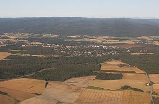
Maura is a village in the municipality of Nannestad, Norway. It is located a few miles west of Råholt, and north of the municipality centre Teigebyen. Its population (2005) is 2.400.
Teigebyen is the administrative centre in Nannestad municipality, Norway. It is located southwest of Råholt, and northwest of Gardermoen. Its population (2005) is 2,209.
Løkenfeltet is a village in Nannestad municipality, Norway. It is located in Holter in southern Nannestad west of Jessheim and Sand. Its population (2005) is 599.

Eltonåsen is a village in Nannestad municipality, Norway. It is located in Holter in southern Nannestad, west of Løkenfeltet. Its population (2005) is 744.
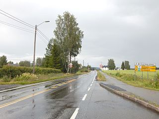
Torget is the administrative centre of Hurdal municipality, Norway. It is located at the northern end of the lake Hurdalsjøen. Its population (2005) is 513.
Bhurmung (chhapchour) is a town and municipality in Gulmi District in the Lumbini Zone of central Nepal. At the time of the 1991 Nepal census it had a population of 4047 persons living in 784 individual households.
Kongsvinger Ishall is an indoor ice hockey arena located in Kongsvinger, Hedmark, Norway. The 2,000 seat arena is the home of the Kongsvinger Knights ice hockey team. The arena is located on the same spot as the former indoor ice hockey rink in Kongsvinger, Kongshallen.


