This article relies largely or entirely on a single source .(January 2026) |
Le Hochet | |
|---|---|
Village | |
 Le Hochet | |
| Coordinates: 20°8′6″S57°31′16″E / 20.13500°S 57.52111°E | |
| Country | |
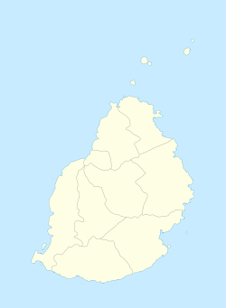
| Districts | Pamplemousses District |
| Elevation | 38 m (125 ft) |
| Population (2011) [1] | |
• Total | 15,034 |
| Time zone | UTC+4 (MUT) |
| Area code | 230 |
| ISO 3166 code | MU |
Le Hochet is a village located in the Pamplemousses District of Mauritius. According to the 2011 census, the population was 15,034. [1]