Leesburg may refer to several locations in the United States of America:

Harrison County is a county located in the U.S. state of Kentucky. As of the 2020 census, the population was 18,692. Its county seat is Cynthiana. The county was founded in 1793 and named for Colonel Benjamin Harrison, an advocate for Kentucky statehood, framer of the Kentucky Constitution, and Kentucky legislator.
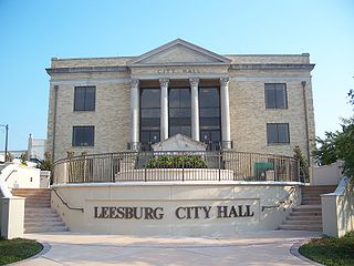
Leesburg is a city in Lake County, Florida, United States. The population was 20,117 at the 2010 census. As of 2019, the population recorded by the U.S. Census Bureau was 23,671.

Cynthiana is a home rule-class city in Harrison County, Kentucky, in the United States. The population was 6,402 at the 2010 census. It is the seat of its county.
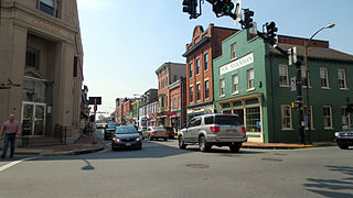
Leesburg is a town in and the county seat of Loudoun County, Virginia, United States. Settlement in the area began around 1740, which is named for the Lee family, early leaders of the town. Located in the far northeast of the state, in the War of 1812 it was a refuge for important federal documents evacuated from Washington, DC, and in the Civil War, it changed hands several times.

John Breckinridge was a lawyer, slave-owning planter, soldier, and politician in the U.S. states of Virginia and Kentucky. He served several terms each in the state legislatures of Virginia and Kentucky before legislators elected him to the U.S. Senate. He also served as United States Attorney General during the second term of President Thomas Jefferson. He is the progenitor of Kentucky's Breckinridge political family and the namesake of Breckinridge County, Kentucky.

Goose Creek is a 53.9-mile-long (86.7 km) tributary of the Potomac River in Fauquier and Loudoun counties in northern Virginia. It comprises the principal drainage system for the Loudoun Valley.
The Battle of Mile Hill was a cavalry skirmish during the American Civil War, that took place just north of Leesburg, Virginia, on September 2, 1862. It preceded the occupation of the town by the Army of Northern Virginia just prior to its crossing of the Potomac River starting the Maryland Campaign.
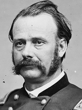
Lovell Harrison Rousseau was a general in the Union Army during the American Civil War, as well as a lawyer and politician in Kentucky and Indiana.
Cuthbert Powell was a Virginia lawyer and Whig politician who served in both houses of the Virginia General Assembly and one term in the U.S. representative from Virginia, like his father, former Congressman Leven Powell.
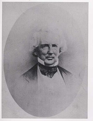
John Janney was an influential member of the Whig Party in Virginia prior to its demise, delegate to the Virginia General Assembly from Loudoun County and served as President of the Virginia Secession Convention in 1861.
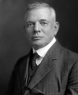
Thomas Walter Harrison was a Virginia lawyer, judge and politician. He served in the Senate of Virginia and in the United States House of Representatives.
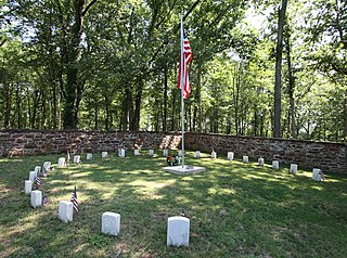
Ball's Bluff Battlefield Regional Park and National Cemetery is a battlefield area and a United States National Cemetery, located 2 miles (3.2 km) northeast of Leesburg, Virginia. The cemetery is the third smallest national cemetery in the United States. Fifty-four Union Army dead from the Battle of Ball's Bluff are interred in 25 graves in the half-acre plot; the identity of all of the interred except for one, James Allen of the 15th Massachusetts, are unknown. Monuments to fallen Confederate Sergeant Clinton Hatcher and Union brigade commander Edward Dickinson Baker are located next to the cemetery, though neither is buried there. While the stone wall-enclosed cemetery itself is managed through the Culpeper National Cemetery and owned by the Department of Veterans Affairs, the balance of the 223-acre (0.90 km2) park is managed through the Northern Virginia Regional Park Authority.
The following Union Army units and commanders fought in the Battle of Ball's Bluff of the American Civil War, fought from October 20 to October 24, 1861, in Loudoun County, Virginia, also known as the Battle of Leesburg or the Battle of Harrison's Island. The Confederate order of battle is shown separately.
The following Confederate States Army units and commanders fought in the Battle of Ball's Bluff of the American Civil War, fought from October 20 to October 24, 1861 in Loudoun County, Virginia, also known as the Battle of Leesburg or the Battle of Harrison's Island. The Union order of battle is shown separately.

The Thomas Balch Library is a history and genealogy library located in Leesburg, Virginia. The library, owned and operated by the town of Leesburg, serves as a designated Underground Railroad research site and has an active research program.

Kentucky Route 353 (KY 353) a 19.940-mile-long (32.090 km) state highway in the U.S. state of Kentucky. The highway connects Fayette, Bourbon, and Harrison counties with Lexington.

The Leesburg Stockade was an event in the civil rights movement in which a group of African-American teenage and pre-teen girls were arrested for protesting racial segregation in Americus, Georgia, and were imprisoned without charges for 45 days in poor conditions in the Lee County Public Works building, in Leesburg, Georgia. The building was then called the Leesburg Stockade, and gave its name to the event. The young prisoners became known as the Stolen Girls.

Kentucky Route 3016 is a state highway in the Bluegrass region of Kentucky. The highway extends 2.082 miles (3.351 km) from KY 982 north to KY 36 and KY 356 in Cynthiana in central Harrison County. KY 3016 serves the south and west sides of the Harrison County seat. The highway was established north of U.S. Route 27 Business and KY 32 in 1987 and extended south to KY 982 in 2014.
The Americus movement was a civil rights protest that began in Americus, Georgia, United States, in 1963 and lasted until 1965. It was organized by the Student Nonviolent Coordinating Committee along with the NAACP. Its main goals were voter registration and a citizenship education plan.


