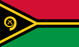
Vanuatu, officially the Republic of Vanuatu, is an island country in Melanesia, located in the South Pacific Ocean. The archipelago, which is of volcanic origin, is 1,750 km (1,090 mi) east of northern Australia, 540 km (340 mi) northeast of New Caledonia, east of New Guinea, southeast of Solomon Islands, and west of Fiji.

John Frum is a figure associated with cargo cults on the island of Tanna in Vanuatu. He is often depicted as an American World War II serviceman who will bring wealth and prosperity to the people if they follow him. Quoting David Attenborough's report of an encounter: "'E look like you. 'E got white face. 'E tall man. 'E live 'long South America."

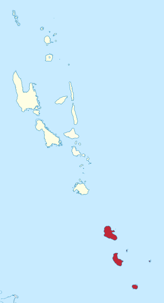
Tafea is the southernmost of the six provinces of Vanuatu. The name is an acronym for the five main islands that make up the province: Tanna, Aneityum, Futuna, Erromango and Aniwa.

Vanuatu has been divided into six provinces since 1994. The names in English of all provinces are derived from the initial letters of their constituent islands:

Tanna is an island in southern Vanuatu.
The nine South Vanuatu languages form a family of the Southern Oceanic languages, spoken in Tafea Province of Vanuatu.
The voiced labial–velar nasal is a type of consonantal sound, used in some spoken languages. The symbol in the International Phonetic Alphabet that represents this sound is ⟨ŋ͡m⟩.

Ambae, also known as Aoba, Omba, Oba, or Opa and formerly Lepers’ Island, is an island in the South Pacific island nation of Vanuatu, located near 15°30′S167°30′E, approximately 310 kilometres north-northwest of Vanuatu's capital city, Port Vila. It is also Vanuatu's largest active volcano.

Aniwa is a small island in the southernmost province of Tafea, Vanuatu.

Gaua is the largest and second most populous of the Banks Islands in Torba Province in northern Vanuatu. It covers 342 km2.
Isangel is a town in Vanuatu.
Anejom̃ or Aneityum is an Oceanic language spoken by 900 people on Aneityum Island, Vanuatu. It is the only indigenous language of Aneityum.
Whitegrass Airport, also known as White Grass Airport or Tanna Airport, is an airport on the island Tanna, in the Taféa province in Vanuatu.

Christianity is the largest religion in Vanuatu. Vanuatu is an archipelago made up of 13 larger islands, and approximately 70 smaller surrounding islands, each home to multitudes of diverse cultural and religious communities.

This article presents an overview of the culture of Vanuatu.

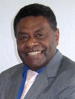
Iolu Johnson Abil is a Vanuatuan politician. He was elected and sworn in as the president of Vanuatu on 2 September 2009.
Whitesands, or East Tanna, is a language spoken on the eastern coast of Tanna Island in Vanuatu. It is closely related to the North Tanna and Lenakel languages.
Lenakel, or West Tanna, is a dialect chain spoken on the western coast of Tanna Island in Vanuatu.
The Victoria-Vanuatu Physician Project (ViVa) was a Canadian non-governmental organization of physicians and their families from Victoria, British Columbia, Canada. For 24 years it supplied a medical doctor to the island of Tanna, Vanuatu.

Squatting in the Republic of Vanuatu is the occupation of unused land or derelict buildings without the permission of the owner. After independence in 1980, informal settlements developed in cities such as Luganville and the capital Port Vila. Land in Vanuatu is either custom land owned by indigenous peoples or public land owned by the republic.


