Atiak is a town in the Northern Region of Uganda on the Gulu-Nimule Road, the primary trade route between Uganda and South Sudan.
Karuma Falls is a town in Uganda.
The Acholibur–Gulu–Olwiyo Road is a road in the Northern Region of Uganda, connecting the town of Acholibur to the city of Gulu and the town of Olwiyo.
The Kyenjojo–Kabwoya Road, in the Western Region of Uganda, connects the town of Kyenjojo in the Kyenjojo District with Kabwoya in the Hoima District. The road is part of the 238 kilometres (148 mi) Kyenjojo–Hoima–Masindi–Kigumba road corridor.
Tororo–Mbale–Soroti Road is a road in Eastern Uganda, connecting the towns of Tororo in Tororo District to Mbale in Mbale District and Soroti in Soroti District.
The Soroti–Dokolo–Lira Road is a road in Uganda, connecting the towns of Soroti in Soroti District, Dokolo in Dokolo District, and Lira in Lira District.
The Kamdini–Gulu Road, also known as the Gulu–Kamdini Road, is a road in the Northern Region of Uganda, connecting the town of Kamdini with Gulu, the largest city in the Northern Region.
Bobi is a town in the Northern Region of Uganda.
The Kampala–Mpigi Expressway, also Busega–Mpigi Expressway, is a proposed four-lane, dual carriage highway in the Central Region of Uganda, connecting, Kampala, the capital city, and Mpigi, the headquarters of Mpigi District.
The Kampala–Bombo Expressway is a proposed four-lane, dual carriage highway in the Central Region of Uganda, connecting, Kampala, the capital city, and Bombo, in Luweero District.
The Karuma–Olwiyo–Pakwach–Nebbi–Arua Road is a road in the Northern Region of Uganda, connecting the towns of Karuma, Olwiyo, Pakwach, Nebbi and Arua.
The Kampala–Gayaza Road is a road in the Central Region of Uganda, connecting the capital city of Kampala to the town of Gayaza in the Wakiso District. The road is part of the 44 kilometres (27 mi) Kampala–Gayaza–Ziroobwe Road Project.
The Iganga–Tirinyi–Kamonkoli–Mbale Road, also known as the Mbale–Kamonkoli–Tirinyi–Mbale Road, is a road in the Eastern Region of Uganda, connecting the towns of Iganga in Iganga District, Namutumba in Namutumba District, Tirinyi in Kibuku District, Kamonkoli in Budaka District, and Mbale in Mbale District.
The Jinja–Iganga–Bugiri–Tororo Road is a road in the Eastern Region of Uganda, connecting the towns of Jinja and Tororo. Sometimes referred to as Tororo–Jinja Road, it is a busy transport corridor, connecting traffic from neighboring Kenya, and northeastern Uganda to Jinja, a major commercial and industrial center, and ultimately to Kampala, the country's capital and points beyond.
Palenga is a town in the Omoro District in the Northern Region of Uganda. It is the site of the district headquarters.
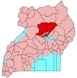
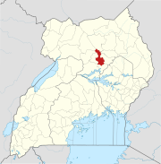
The Kampala–Gulu Highway, also Kampala–Gulu Road, is a road connecting the capital city of Kampala, in the Buganda Region, with the city of Gulu, the largest urban centre in the Northern Region of Uganda.