Related Research Articles

State Route 1, known as the Memphis to Bristol Highway, is a 538.8-mile-long (867.1 km) mostly-unsigned state highway in the U.S. state of Tennessee. It stretches from the Arkansas state line at Memphis in the southwest corner of the state to Bristol in the northeast part. Most of the route travels concurrently with U.S. Route 70 and US 11W. It is the longest highway of any kind in the state of Tennessee. The route is signed as both in the state of Tennessee, a Primary and Secondary Highway

State Route 22 (SR 22) is a 35.84-mile (57.68 km) long state highway spanning Yakima and Benton counties in the US state of Washington. Existing since at least 1937, the highway serves to connect several small communities that have been bypassed by Interstate 82 (I-82) / U.S. Route 12 (US 12). Except for the section through Toppenish and the southeastern bypass of Prosser, the highway is lightly traveled passing mainly through rural farmland. The highway parallels a BNSF Railway line for a majority of its route, with the rail line predating the highway by at least 27 years.

U.S. Route 25W (US 25W) is the western branch of US 25 from Newport, Tennessee, where US 25 splits into US 25E and US 25W, to North Corbin, Kentucky, where the two highways rejoin.
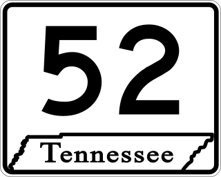
State Route 52 is an east–west state highway that crosses eight counties in northern and northeastern Tennessee. The 141.4-mile-long (227.6 km) route originates in Orlinda along SR 49 and ends in Elgin along U.S. Route 27.

U.S. Route 70 enters the state of Tennessee from Arkansas via the Memphis & Arkansas Bridge in Memphis, and runs west to east across 21 counties in all three Grand Divisions of Tennessee, with a total length of 478.48 miles (770.04 km), to end at the North Carolina state line in eastern Cocke County. Along the route, US 70 is accompanied with various U.S. and state highways, including those in three of the state's four major cities.

U.S. Route 62 (US 62) in Kentucky runs for a total of 391.207 miles (629.587 km) across 20 counties in western, north-central, and northeastern Kentucky. It enters the state by crossing the Ohio River near Wickliffe, then begins heading eastward at Bardwell, and traversing several cities and towns across the state up to Maysville, where it crosses the Ohio River a second time to enter the state of Ohio.

U.S. Route 79 in Tennessee enters the state from Arkansas via the Memphis & Arkansas Bridge in Memphis, and runs northeast through western and the northwestern portions of middle Tennessee, and leaving the state into Kentucky northeast of Clarksville. Along the route, US 79 is accompanied with several concurrencies, including hidden designations, throughout its alignment in Tennessee.

U.S. Route 431 in Tennessee totals an estimated 116 miles (187 km) through Lincoln, Marshall, Maury, Williamson, Davidson, and Robertson counties in Middle Tennessee.
The roads in Nashville, Tennessee include Interstates 24, 65 and 40, with interchanges near the city center. There are nine U.S. highways serving the city. Two beltways surround Nashville.
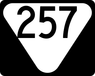
State Route 257 is an east–west secondary state highway that traverses southern Robertson and western Sumner counties in Middle Tennessee.

State Route 27 is an east–west state highway in southeastern Tennessee. The 48.51-mile-long (78.07 km) route traverses portions of Marion and Hamilton counties in Tennessee, including the Chattanooga area. Both of this route's termini are at state lines. Its western end is at the Alabama state line near South Pittsburg, and its eastern end is at the Georgia state line on Chattanooga's south side.

State Route 88 is a west–east state highway in West Tennessee. The 44.78 miles (72.07 km) route traverses Lauderdale and Crockett Counties.

State Route 89 is a north-south state highway in the farmland of West Tennessee. The route is 51.24 miles (82.46 km) long.

State Route 140 is a west–east state highway located entirely in Henry County in northwest Tennessee.
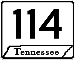
State Route 114 is a north–south state highway that traverses six counties in the western grand division of Tennessee. The 96.49-mile-long (155.29 km) route travels from Clifton Junction to an area south of Paris via Scotts Hill, Lexington, and the Natchez Trace State Park.

State Route 77 (SR 77), is an east–west state highway in the U.S. state of Tennessee. The 84.86-mile-long (136.57 km) route traverses the flat farmland of West Tennessee.
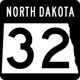
North Dakota Highway 32 is a north–south highway located that traverses portions of nine counties in eastern North Dakota. The 236.674-mile-long (380.890 km) highway is one of several north–south routes in the state that connects the Canadian border to the state's southern border with South Dakota.

North Dakota Highway 40 is a north–south highway located in northwestern North Dakota. The 63.450-mile-long (102.113 km) route traverses an area from US Highway 2 near Tioga, in eastern Williams County, to the Canadian border where it continues as Saskatchewan Highway 47 (Hwy 47) in northern Divide County.

North Dakota Highway 42 is a north–south highway located in northwestern North Dakota. The highway traverses northern Williams and Divide Counties. The southern terminus is at ND 50 near Corinth and the northern terminus is a continuation as Saskatchewan Highway 350 (Hwy 350) at the Canadian border.

State Route 134 is an east–west state highway in southeastern Tennessee. The 6.55 miles (10.54 km) state route traverses portions of southern Marion and southwestern Hamilton Counties. It travels along a path from Haletown to the Georgia state line.
References
- ↑ Tennessee Department of Transportation (2018). Tennessee Transportation Map (Map). Nashville. §§ B6.
- ↑ Tennessee Department of Transportation (1999). Humphreys County Highway Map (PDF) (Map) (1999 ed.). Nashville: Tennessee Department of Transportation. § 324SE. Retrieved February 21, 2017.
- ↑ Rand McNally (2016). "Tennessee" (Map). The Road Atlas (2016 Walmart ed.). 1 in≈30 mi. Chicago: Rand McNally. p. 94. §§ E6 and F6. ISBN 0-528-00626-6.
- ↑ Tennessee Department of Transportation (2018). Tennessee Transportation Map (Map). Nashville. §§ B4.
- ↑ Tennessee Department of Transportation (2017). Tennessee Transportation Map (Map). Nashville. §§ C9-C10.
- ↑ General Highway Map: Benton County, Tennessee (PDF) (Map). Cartography by TDOT Planning Division. Tennessee Department of Transportation. 1996. p. 3. Retrieved February 21, 2017.
- ↑ General Highway Map: Henry County, Tennessee (PDF) (Map). Cartography by TDOT Planning Division. Tennessee Department of Transportation. 2002. p. 40. Retrieved February 21, 2017.
- ↑ Rand McNally (2016). "Tennessee" (Map). The Road Atlas (2016 Walmart ed.). 1 in≈30 mi. Chicago: Rand McNally. p. 94. §§ C7 and D7. ISBN 0-528-00626-6.
- ↑ Tennessee Department of Transportation (2018). Tennessee Transportation Map (Map). Nashville. §§ C14.