Related Research Articles

Wenlock Priory, or St Milburga's Priory, is a ruined 12th-century monastery, located in Much Wenlock, Shropshire, at grid reference SJ625001. Roger de Montgomery re-founded the Priory as a Cluniac house between 1079 and 1082, on the site of an earlier 7th-century monastery. In 1101 bones, believed to be those of Saint Milburga, were discovered beneath the floor of the old church. The relics were ceremoniously translated to the main monastery church.

Cluny Abbey is a former Benedictine monastery in Cluny, Saône-et-Loire, France. It was dedicated to Saint Peter.

Bermondsey Abbey was an English Benedictine monastery. Most widely known as being founded in the 11th century, it had a precursor mentioned in the early eighth century, and was centred on what is now Bermondsey Square, the site of Bermondsey Market, Bermondsey, in the London Borough of Southwark, southeast London, England.

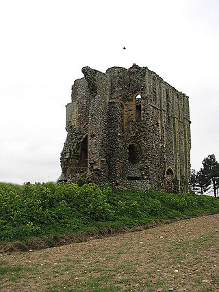
Bromholm Priory was a Cluniac priory, situated in a coastal location near the village of Bacton, Norfolk, England

Thetford Priory is a Cluniac monastic house in Thetford, Norfolk, England. Founded in 1103 by Roger Bigod of Norfolk, Thetford was one of the most important monasteries of East Anglia.

In the Middle Ages, from the 11th century, the Cluniac order established a number of religious houses in the kingdoms of England and Scotland.

Pontefract Priory was a Cluniac monastery dedicated to St. John the Evangelist, founded about 1090 by Robert de Lacy, 2nd Baron of Pontefract, and located in Yorkshire, England. It existed until the dissolution of the monasteries. The Church and buildings have been completely destroyed, but the site is still indicated by the name of Monk-hill.

Monks Horton is a small civil parish in the Folkestone and Hythe district of Kent, England. It is located 3 miles (5 km) north of Hythe. Within the civil parish are the hamlets of Horton and Broad Street. The parish is governed by a parish meeting, rather than a parish council, because of its small size. The name comes from there having been a medieval priory built here.

The Cluniac Priory of Wangford was a small religious house in Wangford in the English county of Suffolk. It was founded before 1159 as a dependency of Thetford Priory. In 1376, it was naturalised before being dissolved in 1540.

Montacute Priory was a Cluniac priory of the Benedictine order in Montacute, Somerset, England.

Prittlewell Priory is a medieval priory in the Prittlewell area of Southend, Essex, England. It was founded in the 12th century, by monks from the Cluniac Priory of St Pancras in Lewes, East Sussex, and passed into private hands at the time of the Dissolution of the Monasteries under Henry VIII. The last private owner, the jeweller R. A. Jones, gave the priory and the grounds to the local council. The grounds now form a public park, Priory Park, and the Grade I listed building is open to the public as a museum. Priory Park is located adjacent to the priory. The remains of the priory are a scheduled monument.

Hatfield Peverel Priory was a Benedictine priory in Essex, England, founded as a secular college before 1087 and converted into priory as a cell of St Albans by William Peverel ante 1100. It is in the English Heritage Register of Parks and Gardens of Special Historic Interest in England and is located on the south side of the village of Hatfield Peverel, about 5 miles north-east of Chelmsford. At the Dissolution of the Monasteries, a timber-frame structure dominated the property.
Daventry Priory was a priory in Daventry, Northamptonshire, England.
The Priory of St Mary Magdalene was a Cluniac priory in Monkton Farleigh, Wiltshire, England, in the 12th to 16th centuries.
References
- ↑ Historic England. "Horklesley priory (384599)". Research records (formerly PastScape). Retrieved 15 April 2010.
- ↑ "Houses of Cistercian monks — Abbey of Tilty | British History Online". British-history.ac.uk. 22 June 2003. Retrieved 15 April 2010.
Coordinates: 51°57′06″N0°51′06″E / 51.951552°N 0.851741°E