
Tres Cantos is a municipality of Spain located in Community of Madrid.

Getafe is a municipality and a city in Spain belonging to the Community of Madrid. As of 2018, it has a population of 180,747, the region's sixth most populated municipality.

Las Rozas de Madrid is a municipalities in the autonomous community of Madrid, Spain, with an area of 59 km² ..
Soto del Real, whose former name was Chozas de la Sierra, is a town and municipality in the northern area of the autonomous Community of Madrid which had 9,188 inhabitants in 2022.

The Sierra de Guadarrama is a mountain range forming the main eastern section of the Sistema Central, the system of mountain ranges along the centre of the Iberian Peninsula. It is located between the systems Sierra de Gredos in the province of Ávila, and Sierra de Ayllón in the province of Guadalajara.
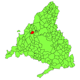
Collado Villalba is a municipality of the Community of Madrid, in central Spain. It is located 40.3 kilometres north-west of the city of Madrid, at an altitude of 917 meters above sea level. It has a population of 63,679 (2019), with a population density of about 2,400 per km². Collado Villalba has a hot summer Mediterranean climate.
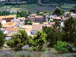
Collado Mediano is a town and municipality in the north-west of the Community of Madrid, Spain. It had a population of 6,610 in 2011 and is located 48 km from Madrid. The municipality covers an area of 22.57 km2. Located near the Sierra de Guadarrama, it lies at 1,032 metres above sea level.

The Autopista AP-6 (also called Autopista del Noroeste or Carretera de La Coruña is a part of the Spanish A-6 Autopista del Noroeste starting at Las Rozas de Madrid and finished at Adanero. Between Las Rozas and Collado Villalba, is a freeway. All of it is a Free/tollway or a Motorway. Las Rozas-Collado Villalba is not a Spanish "Autovía" autopista toll route which starts in Collado Villalba and ends in Adanero. The portion, between Las Rozas and Collado Villalba, forms part of it, but without toll. Madrid-Las Rozas, Adanero-Arteixo on the same route is a Spanish "autovía" not a free/tollway, motorway, either a two-lane road. "Autovia" is in the middle between both road types, but the crosses always are with bridges like in the motorways/toll/freeway.

Manzanares el Real is a 8,936 inhabitant town in the northern area of the autonomous Community of Madrid. It is located at the foot of The Pedriza, a part of the Sierra de Guadarrama, and next to the embalse de Santillana.

Galapagar is a town and municipality northwest of Madrid, Spain, situated in the autonomous community of the Community of Madrid. Of all the towns in the area, it was experiencing the most growth, mostly because of immigration and the conversion of old livestock fields into terrain for construction.

The BESCAM, an acronym for Brigadas Especiales de Seguridad de la Comunidad Autónoma de Madrid, is a police body created by the government of the Community of Madrid in Spain. It is not a specific police organization but rather a project of the regional government of the Autonomous Community of Madrid 2500 which aims to fund local police distributed among the different municipalities of the Community in response to strict technical criteria, with particular emphasis on the population, geographic location or, in the case of those with fewer than 25,000 inhabitants, taking into account the seasonal population increase, or other factors such as low levels of police staffing, industrial development and urban growth. In early 2008, 2,500 agents, distributed in 102 locations in the Greater Madrid area that have a local police force, were members of these units.
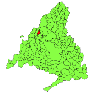
Moralzarzal is a town in Spain. It is located in the Sierra de Guadarrama, in the Community of Madrid. It had a population of 11,318 in 2008.
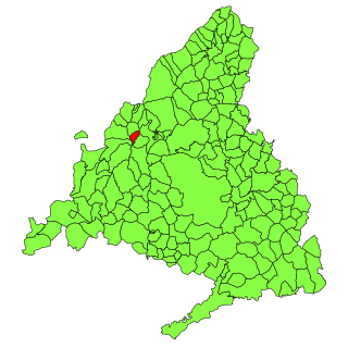
Alpedrete is a town and municipality in central Spain. It is located in the Sierra de Guadarrama in the autonomous community of the Community of Madrid. It had a population of 15,006 inhabitants in 2022.
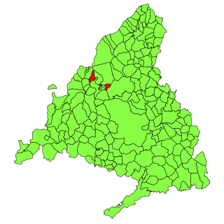
Becerril de la Sierra is a municipality of the autonomous community of Madrid in central Spain.

Cercedilla is a municipality in the Community of Madrid, in central Spain. It is located in the Sierra de Guadarrama.

Navacerrada is a municipality of the Community of Madrid, Spain. It lies at an elevation of 1,203 metres (3,947 ft) on the Reservoir Navacerrada and the entry of "Valle de la Barranca" in the Sierra de Guadarrama.

Villanueva del Pardillo is a municipality and Spanish town of the Community of Madrid, situated 26 kilometers from the capital of Spain and nestled in the natural environment of the Cuenca del Guadarrama. It borders the municipalities of Majadahonda, Las Rozas de Madrid, Villanueva de la Cañada, Galapagar, Colmenarejo and Valdemorillo.

The Cuenca Alta del Manzanares Regional Park, created in 1985, is the natural space protected area with the largest extension in the Community of Madrid (Spain) and one of the most ecologically and scenically valuable. It is located in the northwest of the region and extends around the upper course of the Manzanares River, along 42 583 ha. Its main municipalities of reference are Manzanares el Real and Hoyo de Manzanares. Unesco declared it a Biosphere Reserve in 1992.

The Sierra de Hoyo or Sierra de Hoyo de Manzanares is a mountain chain located in the northwest of the Community of Madrid (Spain), near the Sierra de Guadarrama. Geologically it belongs to this mountainous formation, but there is a flat separation of about ten kilometers between the two. Its main municipality of reference is Hoyo de Manzanares, located on its southern slope, from which it takes its name.
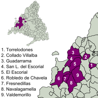
The Imperial Route of the Community of Madrid is the tourist itinerary promoted by the Ministry of Culture and Tourism of this Spanish region, which runs through several municipalities in the Sierra de Guadarrama. It partially follows the historical road that led to the Monastery of El Escorial, used in the 16th century by King Philip II in his travels from the city of Madrid to the Royal Site.


