
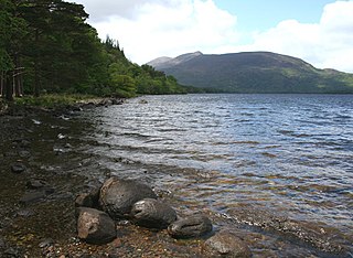
Lough Mask is a limestone lake of about 83 km2 (32 sq mi) in Counties Mayo and Galway, Ireland, north of Lough Corrib. Lough Mask is the middle of the three lakes, which empty into the Corrib River, through Galway, into Galway Bay. Lough Carra flows into Lough Mask, which feeds into Lough Corrib through an underground stream which becomes the River Cong.

Lough Conn is a lake in County Mayo, Ireland. With an area of about 48 square kilometres (19 sq mi), it is Ireland's seventh largest lake. With its immediate neighbour to the south, Lough Cullin, it is connected to the Atlantic Ocean by the River Moy. Lough Conn is noted for its trout and salmon fishing. The ruins of a priory exist at Errew Abbey.

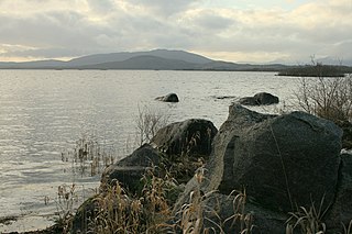
Lough Melvin is a lake in the northwest of the island of Ireland on the border between County Leitrim and County Fermanagh. It is internationally renowned for its unique range of plants and animals.
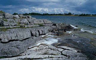
Lough Carra is a limestone lake (marl) of 4,000 acres (16 km2), in County Mayo, Ireland, about 8 miles (13 km) south of Castlebar. It is approximately 6 miles (9.7 km) long and varies in width from 400 yards (370 m) to one mile (1.6 km). The average depth is 6 feet (1.8 m), with a maximum of 60. It drains into Lough Mask via the Keel River.

The River Fergus is a river within the Shannon River Basin which flows in County Clare, Ireland. The river begins at Lough Fergus in north Clare and flows into the Shannon Estuary. The source is at Lough Fergus in the townland of Kilmore North. At Knockroe, the river is joined by a tributary stream called the Clooneen River. The Fergus flows underground for about a kilometre in Cahermacon, near Kilnaboy. The river then flows through Lough Inchiquin. Just after this lake, a tributary which has its source at Loughnagowan joins the Fergus. The river then flows along by the village of Corofin. After Corofin, the river flows through Lough Atedaun, Ballyteige Lough, Dromore Lake and Ballyallia Lake. The river then flows through the town of Ennis, where it is crossed by six road bridges, a pedestrian bridge and a railway bridge. There is also a small branch which splits off just north of Ennis and rejoins the main flow to the east of the town. Another tributary, a stream known as the Inch River or Claureen River, also joins at Ennis. The river then flows through the village of Clarecastle, where there was a port in former times. After Clarecastle, the river widens into an estuary which then joins the Shannon Estuary. There are several islands in the Fergus Estuary, including Deer Island, Coney Island, Trummer Island, Inishmacowney, Canon Island and Inishloe. Some of these islands were once inhabited, and there were schools on Coney Island and Inishloe.
Lough Cullin is a lake in County Mayo in Ireland. With its immediate neighbour to the north, Lough Conn, it is connected to the Atlantic by the River Moy. Lough Cullin is noted for its trout and salmon fishing.

Loch Na Fooey, also Loch Nafooey or Lough Nafooey, is a rectangular shaped glacial lake in County Galway, Ireland. Part of the north-eastern shore lies along the border to County Mayo. The closest village is Finny, County Mayo with the Galway village of Leenaun approximately 11 km distant.
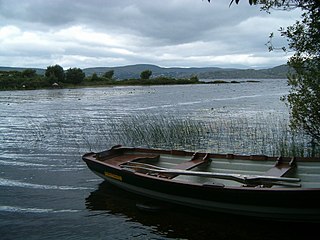
Lough Currane, also called Lough Leeagh, is a lake in County Kerry, Ireland. Waterville lies on its western bank, close to the Atlantic Ocean, it empties into Ballinskelligs Bay. Raheen lies on its southern bank. It covers an area of 2,500 acres (10 km2) and is 3.5 miles (5.6 km) long and 2 miles (3.2 km) at the widest point.
The lake is notable for the Early Medieval monastery on Church Island. It is associated with had the St. Finan Cam, who inhabited the island c. 7th century. To the south of the lake is Inis Uasal, an island dedicated to St. Finan. The Annals of Inisfallen mention that Amchad, the "anchorite of God" was buried on the island in 1058.

Glen Lough is a freshwater lake in the northwest of Ireland. It is located in north County Donegal near the village of Creeslough.
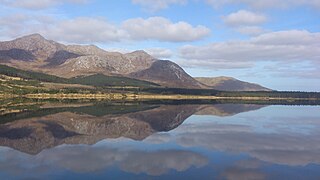
Lough Inagh is a freshwater lake in the Inagh Valley, in Connemara, Galway, in the west of Ireland.

Derryclare Lough is a freshwater lake at the entrance of the Inagh Valley, in Connemara, Galway, in the west of Ireland.

Ballynahinch Lake is a freshwater lake in the west of Ireland. It is located in the Connemara area of County Galway.
Muckross Lake, also called Middle Lake or The Torc, is a lake in Killarney National Park, County Kerry, Ireland. It is one of the three famous Lakes of Killarney, along with Lough Leane and Upper Lake. It is Ireland's deepest lake, reaching to 75 metres (246 ft) in parts.
Lough Nacung Upper, also known as Upper Lough Nacung, is a lough in Gaoth Dobhair, a district in the north-west of County Donegal in Ulster, the northern province in Ireland. It connects Lough Dunlewey to Lough Nacung Lower, which drains into the Clady River. Lough Nacung is a Special Area of Conservation.

Islandeady Lough is a freshwater lake in the west of Ireland. It is located in County Mayo.

Lough Furnace is a tidally-influenced, meromictic, saline lagoon in County Mayo, Ireland, located south of Lough Feeagh. It receives freshwater inflow from the upstream Lough Feeagh at the base of the Burrishoole Catchment and tidal input of saline water from Clew Bay, through the Burrishoole Estuary.

Levally Lough is a freshwater lake in the west of Ireland. It is located in County Mayo near Lough Conn.

Glenicmurrin Lough or Lough Glenicmurrin is a lake in County Galway, Ireland.

