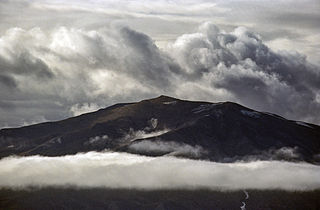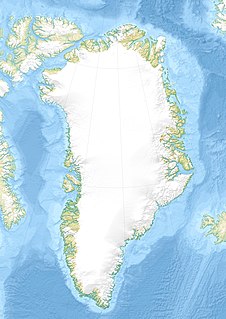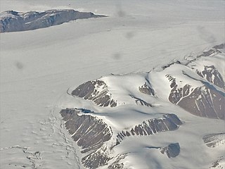
Lyell Land is a peninsula in King Christian X Land, East Greenland. It is located in the King Oscar Fjord area. Administratively it is part of the Northeast Greenland National Park zone.

Frænkel Land is a peninsula in King Christian X Land, East Greenland. Administratively it is part of the Northeast Greenland National Park.

Andrée Land is a peninsula in King Christian X Land, East Greenland that is bounded by Kejser Franz Joseph Fjord, Isfjord and Geologfjord.

Charcot Land is a peninsula of Eastern Greenland, part of the Scoresby Sound system. It lies in the Northeast Greenland National Park zone.
Alison Bay is a bay in the Qaasuitsup municipality in northwestern Greenland. The bay is a tributary bay of Melville Bay, and is located in the northern part of Upernavik Archipelago, between Kiatassuaq Island in the southwest and the mainland of Greenland in the northeast.

Isfjord, meaning 'Ice Fjord' in the Danish language, is a fjord in King Christian X Land, eastern Greenland. The Isfjord is part of the Kaiser Franz Joseph Fjord complex in the area of the Northeast Greenland National Park.

Inglefield Land is an unglaciated region along the northwestern coast of Greenland, stretching from Cape Alexander in the southwest to Cape Agassiz in the northeast. It is bounded by Prudhoe Land in the south, Humboldt Glacier in the east, and Kane Basin in the north.

King Frederick VIII Land is a major geographic division of northeastern Greenland. It extends above the Arctic Circle from 76°N to 81°N in a N/S direction along the coast of the Greenland Sea.

Payer Peak, is a mountain in King Christian X Land, Northeast Greenland. Administratively it is part of the Northeast Greenland National Park zone.

Petermann Peak,, also known as Petermann Fjeld, Petermanns Topp and Petermann Point is a mountain in King Christian X Land, Northeast Greenland. Administratively it is part of the Northeast Greenland National Park zone.

Revaltoppe is one of the highest mountains in Queen Louise Land, NE Greenland. The peak is located in the King Frederick VIII Land area of northeastern Greenland. Administratively it is part of the Northeast Greenland National Park zone.

Gefiontinde is the highest mountain in Queen Louise Land, NE Greenland. The peak is located in the King Frederick VIII Land area of northeastern Greenland. Administratively it is part of the Northeast Greenland National Park zone.

The Lindbergh Range or Lindbergh Nunataks is a mountain range in King Christian IX Land, eastern Greenland. Administratively the range is part of the Sermersooq Municipality.

Scoresby Land is an area of Eastern Greenland, which lies partly in Sermersooq and partly in the Northeast Greenland National Park zone. The area is uninhabited, except for Mestersvig, a military outpost.

Nordvestfjord, meaning 'Northwest Fjord', is a fjord in King Christian X Land, eastern Greenland.

Th. Sørensen Land is an area in King Christian X Land, Eastern Greenland, part of the inner Scoresby Sound system. Administratively it lies in the Northeast Greenland National Park zone. The area is remote and uninhabited.

Nathorst Land is an area in King Christian X Land, Eastern Greenland. It lies in the Northeast Greenland National Park zone. The area is remote and uninhabited.

Hamberg Glacier is one of the major glaciers in King Christian X Land, Northeast Greenland. Administratively it lies in the Northeast Greenland National Park zone.

Adolf Hoel Glacier, also known as Hoel Glacier(Hoels Gletscher), is one of the major glaciers in King Christian X Land, Northeast Greenland. Administratively it lies in the Northeast Greenland National Park zone.

Nunatak Glacier, also known as Nunatak Glacier, is a glacier in King Christian X Land, Northeast Greenland. Administratively it lies in the Northeast Greenland National Park zone.


