| Lucie River | |
|---|---|
 | |
 | |
| Location | |
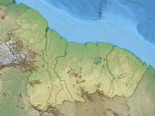
| Country | Suriname |
| District | Sipaliwini District |
| Physical characteristics | |
| Source | Eilerts de Haan Mountains |
| • location | 3°34′42″N56°14′45″W / 3.5782°N 56.2459°W |
| Mouth | Courantyne River |
• location | 3°34′08″N57°41′02″W / 3.5690°N 57.6838°W |
| Basin features | |
| Progression | Courantyne River→Atlantic Ocean |
Lucie River is a river of Suriname. It feeds into the Atlantic Ocean as well as the Courantyne River. The river was discovered and named by Eilerts de Haan in 1908. [1] Eilerts de Haan is buried near the river. [2]