 2RN site on Maghera | |
 Maghera in Ireland | |
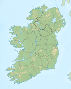
| Location | Killanena, County Clare |
|---|---|
| Mast height | 160 metres (525 ft) |
| Coordinates | 52°58′07″N8°43′06″W / 52.968554°N 8.718311°W |
| Built | 1962 |
The Maghera transmission site is situated on a 400 metre (1000 foot) hill (Irish : Cnoc an Ois) located at Killanena in the east of County Clare, Ireland. It is home to one of 2RN's network of radio and television transmitters.
