 2RN transmission site at Spur Hill | |
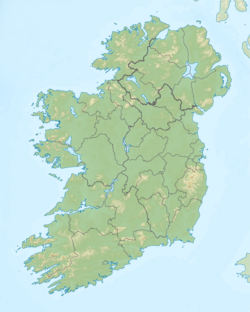 Spur Hill, County Cork, Ireland | |
| Location | Spur Hill, County Cork |
|---|---|
| Mast height | 60 metres (197 ft) |
| Coordinates | 51°51′22″N8°30′58″W / 51.85602992214568°N 8.516036780969547°W |
| Built | 1965 |
The Spur Hill transmission site is located on a 137-metre hill southwest of Cork city in Ireland, just northwest of Cork airport.
