
Maseru is a district of Lesotho. Maseru is also the name of the district's capital, and is the only city in the district and also the capital of the country. It is the largest urban area in the country, and therefore the only city. The city of Maseru is located on Lesotho's western border with the Free State Province of South Africa, the frontier being the Caledon River. Maseru borders on Berea District in north, Thaba-Tseka District in the east, Mohale's Hoek District in south, and Mafeteng District in southwest.

General elections were held in Lesotho on 17 February 2007. They had originally been scheduled to be held in April or May 2007. In October 2006, Tom Thabane left the ruling Lesotho Congress for Democracy (LCD) and formed a new party, the All Basotho Convention (ABC), and 17 other members of parliament joined him. This left the LCD with a narrow majority of 61 out of 120 seats. On the advice of Prime Minister Pakalitha Mosisili, King Letsie III dissolved parliament on November 24, 2006, and the election was scheduled for February 17, 2007. The bringing forward of the date caused dissatisfaction amongst the opposition, which expressed concern that it would not allow sufficient time for campaigning and electoral preparations. It was believed that the election was called early due to the possibility that there would be further defections from the LCD, depriving it of its majority.
The Makhaleng River is a river of western Lesotho. It rises in the Maloti Mountains, flows generally in a southwesterly direction to join the Orange River at the border with Free State in South Africa.
Mazenod is a community council located in the Maseru District of western Lesotho. The population in 2006 was 27,553. It is located to the south-east of the capital Maseru. Points of interest include Moshoeshoe I International Airport, Lesotho's only international airport.
The districts of Lesotho are further divided into constituencies, which are in turn divided into community councils.
Kanana is a community council located in the Berea District of Lesotho. Its population in 2006 was 19,311.
Ribaneng is a community council located in the Mafeteng District of Lesotho. Its population in 2006 was 7,509.
Phamong is a constituency and community council located in the Mohale's Hoek District of Lesotho. Its population in 2006 was 8,402. Chieftainess Nthati Bereng Bereng was confirmed into office as Principal Chief of Phamong at a ceremony presided over by King Letsie III on August 27, 2004. The inauguration follows the death of her husband in 2002.
Mabote is a constituency and community council in the Maseru Municipality located in the Berea District of Lesotho. The population in 2006 was 38,047.
Abia is a constituency and community council in the Maseru Municipality located in the Maseru District of Lesotho. The population in 2006 was 17,449.
Lithabaneng is a constituency and community council in the Maseru Municipality located in the Maseru District of Lesotho. The population in 2006 was 28,371.
Lithoteng is a constituency and community council in the Maseru Municipality located in the Maseru District of Lesotho. The population in 2006 was 26,593.
Motimposo is a constituency and community council in the Maseru Municipality located in the Maseru District of Lesotho. The population in 2006 was 24,714.
Qoaling is a constituency and community council in the Maseru Municipality located in the Maseru District of Lesotho. The population in 2006 was 33,989.
Stadium Area is a constituency and community council within the Maseru Municipality, in the Maseru District of Lesotho. The population in 2006 was 21,906.
Maseru Central is a constituency and community council in the Maseru Municipality located in the Maseru District of Lesotho. The population in 2006 was 37,529.
Maseepho is a community council located in the Qacha's Nek District of Lesotho. Its population in 2006 was 7,879.
Matebeng is a community council located in the Qacha's Nek District of Lesotho. Its population in 2006 was 1,735.

The border between Lesotho and South Africa is 909 kilometres (565 mi) long and forms a complete loop, as Lesotho is an enclave entirely surrounded by South Africa. The border follows the Caledon River, the drainage divide of the Drakensberg mountains, the Orange River, the Makhaleng River, and a series of hills joining the Makhaleng back to the Caledon.
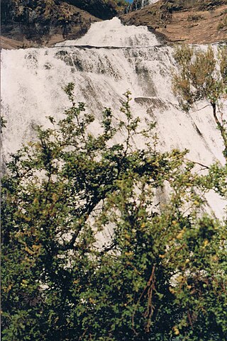
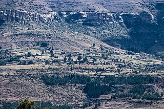
Malealea is a village in the Mafeteng district, roughly 80km from Maseru in southern Lesotho. Located in the Makhaleng valley, ca. 3 kilometers west of the mouth of Botsoela river. The village can be reached from Matelile over 7 km gravel road. The 2006 census counts 613 inhabitants in "Makhomalong (Malealea)" and "Letlapeng (Malealea)"
