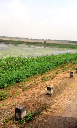


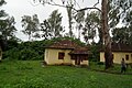
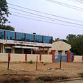
Mananthavady Road is an agricultural suburb of Mysore district in the Indian state of Karnataka. [1]
Mananthavady Road is an agricultural suburb of Mysore district in the Indian state of Karnataka. [1]
The term Mananthavady Road is used for the 52 km stretch of road between Mysore and Heggadadevanakote (H.D.Kote) town in Karnataka. Some people use the term for the entire stretch up to Mananthavady town in Kerala province. The second stretch of the road passes through Nagarhole National Park. The second stretch is another 70 km long. [2]


| | This article related to a location in Mysore district, Karnataka, India is a stub. You can help Wikipedia by expanding it. |