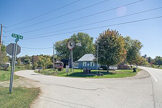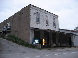
Owen County is a county in the U.S. state of Indiana. In 1920 the United States Census Bureau calculated the mean center of U.S. population to fall within this county. As of the 2020 United States Census, it had a population of 21,321. Its county seat is Spencer.

Greene County is a county in the U.S. state of Indiana. As of 2020, the population was 30,803. The county seat is Bloomfield. The county was determined by the US Census Bureau to include the mean center of U.S. population in 1930.

Bloomfield is a town within Richland Township and the county seat of Greene County, Indiana, United States. The population was 2,405 at the 2010 census.

Corydon is a town in Harrison Township and the county seat of Harrison County, Indiana, located north of the Ohio River in the extreme southern part of the state. Corydon was founded in 1808 and served as the capital of the Indiana Territory from 1813 to 1816. It was the site of Indiana's first constitutional convention, which was held June 10–29, 1816. Forty-three delegates convened to consider statehood for Indiana and drafted its first state constitution. Under Article XI, Section 11, of the Indiana 1816 constitution, Corydon was designated as the capital of the state, which it remained until 1825, when the seat of state government was moved to Indianapolis. In 1863, during the American Civil War, Corydon was the site of the Battle of Corydon, the only official pitched battle waged in Indiana during the war. More recently, the town's numerous historic sites have helped it become a tourist destination. A portion of its downtown area is listed in the National Register of Historic Places as the Corydon Historic District. As of the 2010 census, Corydon had a population of 3,122.

Stafford Township is one of fifteen townships in Greene County, Indiana, USA. As of the 2020 census, its population was 411, down from 448 at 2010.

Washington Township is one of fifteen townships in Greene County, Indiana, USA. As of the 2010 census, its population was 1,017, down from 1,186 at 2010.
Calvertville is an unincorporated community in Highland Township, Greene County, Indiana, United States.

Cincinnati is an unincorporated area within Center Township of Greene County, Indiana, United States.

Hendricksville is an unincorporated community in Beech Creek Township, Greene County, Indiana.

Hobbieville is an unincorporated community in Center Township, Greene County, Indiana.
Ilene is an unincorporated community in Washington Township, Greene County, Indiana.

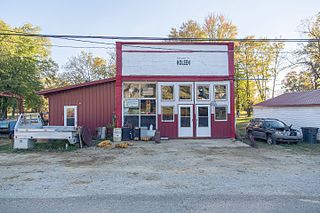
Koleen is an unincorporated community in Jackson Township, Greene County, Indiana.

Newark is an unincorporated community in Beech Creek Township, Greene County, Indiana.
Park is an unincorporated community in Richland Township, Greene County, Indiana.

Scotland is an unincorporated community and census-designated place (CDP) in Taylor Township, Greene County, Indiana, United States. As of the 2010 census it had a population of 134.

Solsberry is an unincorporated community in Beech Creek Township, Greene County, Indiana.
Summit is an unincorporated community in Stockton Township, Greene County, Indiana. It was named for the former Summit Mine located there in the late 19th and early 20th centuries.
Vicksburg is an unincorporated community in Wright Township, Greene County, Indiana.
Victoria is an unincorporated community in Stockton Township, Greene County, Indiana.
Greene is an unincorporated community in Greene Township, Jay County, Indiana.


