Matelli Matiali | |
|---|---|
town | |
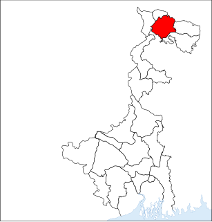
 Matelli Location in West Bengal, India  Matelli Matelli (India) | |
| Coordinates: 26°56′0″N88°49′0″E / 26.93333°N 88.81667°E Coordinates: 26°56′0″N88°49′0″E / 26.93333°N 88.81667°E | |
| Country | |
| State | West Bengal |
| District | Jalpaiguri |
| Elevation | 267 m (876 ft) |
| Languages | |
| • Official | Bengali, English |
| Time zone | UTC+5:30 (IST) |
| PIN | 735223 |
| Telephone code | 03562 |
| Vehicle registration | WB |
| Coastline | 0 kilometres (0 mi) |
| Nearest city | Siliguri |
| Website | matellibazarapeaceparadise |
Matiali is a block under Malbazar subdivision in Jalpaiguri district, West Bengal, India.

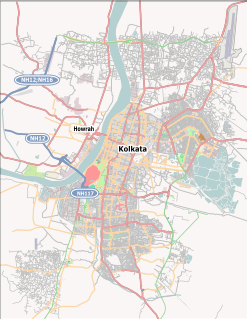
Malbazar subdivision, also known as Mal subdivision, is a subdivision of the Jalpaiguri district in the state of West Bengal, India. It consists of Malbazar municipality and three community development blocks: Mal, Metiali and Nagrakata. The three blocks contain 22 gram panchayats. The subdivision has its headquarters at Malbazar. It is a newly created subdivision (1990s) and was earlier part of Jalpaiguri Sadar subdivision of Jalpaiguri district. The area is famous for tea gardens and moist deciduous forests. Important towns besides Malbazar town are Lataguri, Chalsa, Damdim and Matelli.
Jalpaiguri district is a district of the Indian state of West Bengal. It is situated between 26° 16' and 27° 0' North latitudes and 88° 4' and 89° 53' East longitudes. The district was established in 1869 in British India.

West Bengal is a state in the eastern region of India along the Bay of Bengal. With over 91 million inhabitants, it is India's fourth-most populous state. West Bengal is the thirteenth-largest Indian state, with an area of 88,752 km2 (34,267 sq mi). Part of the ethno-linguistic Bengal region of the Indian subcontinent, it borders Bangladesh in the east, and Nepal and Bhutan in the north. It also borders the Indian states of Odisha, Jharkhand, Bihar, Sikkim, and Assam. The state capital is Kolkata (Calcutta) the seventh-largest city in India, and center of the third-largest metropolitan area in the country. West Bengal includes the Darjeeling Himalayan hill region, the Ganges delta, the Rarh region, and the coastal Sundarbans. The main ethnic group is the Bengalis, with Bengali Hindus forming the demographic majority.