Related Research Articles
Stony Creek is a 23.0-mile-long (37.0 km) tributary of the Susquehanna River in Dauphin County, Pennsylvania, in the United States.
Aquashicola Creek (Ahkwa-SHIK-ola), also known as Aquanchicola Creek, or Aquanshicola Creek, is a 20.8-mile-long (33.5 km) tributary of the Lehigh River in the Pocono Mountains in Northeastern Pennsylvania.
Bear Creek is a 17.1-mile-long (27.5 km) tributary of the Lehigh River in the Pocono Mountains in Northeastern Pennsylvania, joining the Lehigh River at the Francis E. Walter Reservoir.

Brodhead Creek is a 21.9-mile-long (35.2 km) tributary of the Delaware River in the Pocono Mountains in Northeastern Pennsylvania.

Big Bushkill Creek is a 30.1-mile-long (48.4 km) tributary of the Delaware River in the Pocono Mountains region of Northeastern Pennsylvania.
Buckwha Creek is a 12.6-mile-long (20.3 km) tributary of Aquashicola Creek in the Poconos of eastern Pennsylvania in the United States.
Shohola Creek is a 29.0-mile-long (46.7 km) tributary of the Delaware River in the Pocono Mountains in Northeastern Pennsylvania.
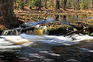
Pocono Creek is a 15.8-mile-long (25.4 km) tributary of Brodhead Creek in the Pocono Mountains in Northeastern Pennsylvania.
Middle Creek is a 20.7-mile-long (33.3 km) tributary of the Lackawaxen River in the Poconos of eastern Pennsylvania.
Paradise Creek is a 9.6-mile-long (15.4 km) tributary of Brodhead Creek in the Poconos in Northeastern Pennsylvania.

Manatawny Creek is an 18.2-mile-long (29.3 km) tributary of the Schuylkill River in Pennsylvania in the United States.
Tunkhannock Creek is a 19.2-mile-long (30.9 km) tributary of Tobyhanna Creek in the Poconos of eastern Pennsylvania in the United States.
Spring Creek is a 1.0-mile-long (1.6 km) tributary of Little Lehigh Creek in the Lehigh Valley region of eastern Pennsylvania.
Tobyhanna Creek is a 29.9-mile-long (48.1 km) tributary of the Lehigh River in the Pocono Mountains of eastern Pennsylvania in the United States.
Mahantango Creek is a 36.2-mile-long (58.3 km) tributary of the Susquehanna River in Dauphin, Northumberland, Schuylkill, and Snyder County counties, Pennsylvania in the United States.
Wallenpaupack Creek is a 30.0-mile-long (48.3 km) tributary of the Lackawaxen River in the Pocono Mountains of eastern Pennsylvania in the United States.
Saucon Creek is a 17.0-mile-long (27.4 km) tributary of the Lehigh River in Lehigh and Northampton counties, Pennsylvania, in the United States.

Pisgah Mountain, or Pisgah Ridge on older USGS maps, is a ridgeline running 12.5 miles (20.1 km) from Tamaqua to Jim Thorpe, Pennsylvania from the Little Schuylkill River water gap to the Lehigh River water gap.
Appenzell Creek is a 11.8-mile-long (19.0 km) tributary of McMichael Creek in Monroe County, Pennsylvania in the United States.
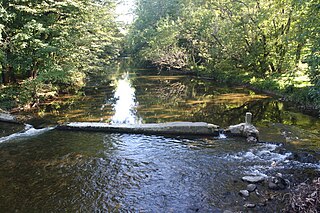
Marshalls Creek is a 13.3-mile-long (21.4 km) tributary of the Brodhead Creek in the Pocono Mountains in Northeastern Pennsylvania in the United States.
References
- ↑ U.S. Geological Survey. National Hydrography Dataset high-resolution flowline data. The National Map Archived 2012-03-29 at the Wayback Machine , accessed April 1, 2011
- 1 2 Gertler, Edward. Keystone Canoeing, Seneca Press, 2004. ISBN 0-9749692-0-6
40°57′49″N75°13′53″W / 40.96366°N 75.23142°W
| | This Monroe County, Pennsylvania state location article is a stub. You can help Wikipedia by expanding it. |