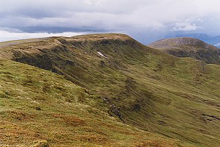
Meall Buidhe is a Munro situated in the southern highlands of Scotland. It forms the northern side of Loch an Daimh and is often climbed in conjunction with Stuchd an Lochain. The normal route climbs north from the eastern end of the loch until easier ground is reached. The route angles east and then north once the ridge is gained. Strong walkers can continue round the loch and take in a Corbett, Sron a' Choire Chnapanich, and the aforementioned Stuchd an Lochain.

Meall a' Bhùiridh (IPA:[ˈmauɫ̪ˈaˈvuːɾʲɪʝ]) is a mountain on the edge of Rannoch Moor in the Highlands of Scotland. It lies near the top of Glen Coe and Glen Etive, overlooking the Kings House Hotel inn and the A82 road. The Glencoe Ski area is located on the northern slopes of the peak.
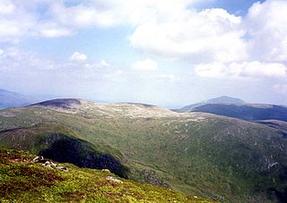
Meall Garbh is a mountain on the north side of Glen Lyon in the Scottish Highlands. The flat summit of the hill has two tops of almost equal height, the north-west one being considered the higher.

Meall na Teanga is a Scottish mountain located in the Highland council area, 11 km (7 mi) north of Spean Bridge.

Meall Glas is a mountain situated in the southern highlands of Scotland. It stands on the northern border of the Loch Lomond and the Trossachs National Park, 8.5 kilometres north east of Crianlarich.

Càrn Mairg is a Scottish mountain located 18 km west of Aberfeldy in the Perth and Kinross council area. It stands on the northern side of Glen Lyon in a cluster of four Munros known as the Càrn Mairg group which are situated in a semi circle around the Invervar Burn.

Càrn Gorm is a Scottish mountain situated 22 km west of Aberfeldy in the council area of Perth and Kinross, it stands in a group of four Munros known as the Càrn Mairg group or the Glen Lyon Horseshoe on the north side of Glen Lyon.

Meall Ghaordaidh is a mountain in the Southern Highlands of Scotland, approximately 10 km north-west of Killin.
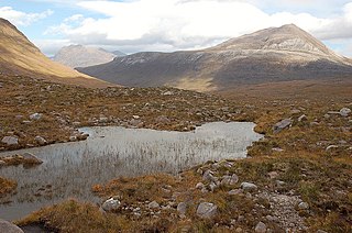
Meall a' Ghiubhais is a mountain in the Northwest Highlands, Scotland. It lies in Wester Ross, close to the village of Kinlochewe.

Meall a' Phubuill is a peak in the Northwest Highlands, Scotland, northwest of Fort William in Lochaber.

Sgurr nan Conbhairean is a mountain in the Northwest Highlands, Scotland, lying north of Loch Cluanie between Glen Shiel and Glen Moriston.
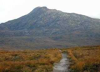
Sgurr Dubh is a mountain in the Northwest Highlands, Scotland. It lies southwest of the village of Kinlochewe in Wester Ross.

Meall Buidhe is a mountain in the Northwest Highlands, Scotland. It lies on the Knoydart peninsula in Lochaber.
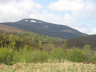
Meall Chuaich is a mountain in the Grampian Mountains of Scotland, located east of the village of Dalwhinnie.

Meall Corranaich is a mountain in the Grampian Mountains of Scotland. It lies on the northern shore of Loch Tay in Perthshire, and is part of the Ben Lawers group.

Meall Tairneachan is a mountain in the Grampian Mountains of Scotland, located northwest of Aberfeldy in Perthshire.

Meall Mor is a mountain in the Grampian Mountains of Scotland. It lies above the Glencoe village at the foot of Glen Coe in Lochaber, Scotland.
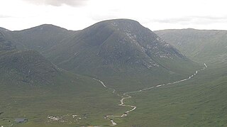
Meall nan Eun is a mountain in the Grampian Mountains of Scotland. It is located east of Glen Etive in Argyll and Bute.

Beinn Loinne is a mountain in the Northwest Highlands of Scotland. It rises above the southern shore of Loch Cluanie in Inverness-shire.


