
Route 1 is a 7.253-mile-long (11.673 km) state highway in the Kansas City metropolitan area that travels from Route 210 in North Kansas City to Route 152 in Kansas City. Because of annexation, Route 1 travels to the north out of North Kansas City and enters Kansas City proper before passing through Gladstone and re-entering Kansas City.
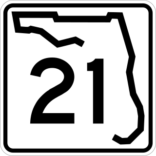
State Road 21 (SR 21) runs mostly in a southwest-to-northeast direction in the US state of Florida from McMeekin to Jacksonville. It is also known as Blanding Boulevard for much of its length.
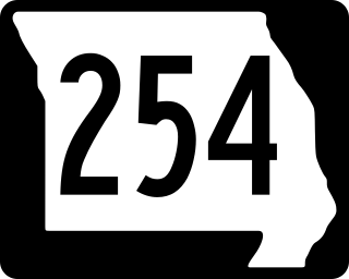
Route 254 is a short highway in Hickory County, Missouri with endpoints at U.S. Route 54 (US 54) in Hermitage and Route 83 south of Wheatland. The highway crosses the Pomme de Terre Lake dam.

Route 87 is a highway in central Missouri. Its southern terminus is at U.S. Route 54 in Eldon, and its northern terminus is at Route 5/240 in Glasgow. Parts of the road are overlapped by the Lewis and Clark Trail and Santa Fe Trail.

Route 107 is a highway in northeastern Missouri. Its northern terminus is at U.S. Route 24 southwest of Monroe City; its southern terminus is at Route 154 about nine miles (14 km) south of the northern terminus in Mark Twain State Park. No towns are on the route, but the Mark Twain Birthplace State Historic Site is less than a mile to the east in Florida. The highway crosses Mark Twain Lake twice.

Route 121 is a short highway in northwestern Missouri. It begins at U.S. Route 69 (US 69) south of Cameron, where it begins travelling eastward. The road intersects a county route and crosses over two streams. The route ends at the Wallace State Park entrance, where the road becomes Route HH after the intersection. The route was opened around 1936, serving as the connector between US 69 and the state park. The road cost $18,000 to build in 1935, and it allowed federal construction to begin at the park.

State Route 10 (SR 10) is a 172.3-mile-long (277.3 km) state highway in the U.S. state of Georgia. It travels from Downtown Atlanta to the South Carolina state line in Augusta. This highway, along with U.S. Route 78 (US 78), connect three of the biggest metro areas of the state together: Atlanta, Athens, and Augusta. It travels concurrently with US 78 in three sections: from Atlanta to Druid Hills; from near Stone Mountain to near Athens; and from Athens to its eastern terminus, for a total of 149.2 miles (240.1 km), or approximately 86.6 percent of its route.

State Route 54 (SR 54) is a 70.5-mile-long (113.5 km) state highway that travels southwest-to-northeast through portions of Troup, Meriwether, Coweta, Fayette, Clayton, and Fulton counties in the northwestern part of the U.S. state of Georgia. The highway connects Hogansville with Atlanta, via Peachtree City, Fayetteville, Jonesboro, and Forest Park.

Iowa Highway 92 (Iowa 92) is a state highway that runs from east to west across the state of Iowa. Iowa 92 is 279 miles (449 km) long. It begins at the Missouri River in Council Bluffs, where it is a continuation of Nebraska Highway 92. It stretches across the state and serves to roughly demarcate the southern one-third of Iowa. It ends at the Mississippi River in Muscatine where it continues into Illinois as Illinois Route 92. In 1939, Iowa 92 replaced the original Iowa 2 in its entirety.

State Route 388 (SR 388) is a 4.5-mile-long (7.2 km) state highway that travels south-to-north in a backward L-shape, completely within Columbia County, in the east-central part of the state of Georgia. It connects Grovetown to Lewiston.

State Route 75 (SR 75) is a 33.4-mile-long (53.8 km) state highway that travels south-to-north through portions of White and Towns counties in the northern part of the U.S. state of Georgia. It connects Cleveland and the North Carolina state line, via Helen, Macedonia, and Hiawassee.
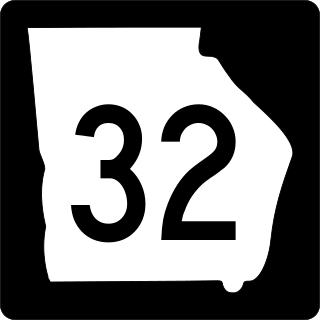
State Route 32 (SR 32) is a 188.8-mile-long (303.8 km) state highway that travels west-to-east through portions of Terrell, Lee, Worth, Turner, Irwin, Coffee, Bacon, Pierce, Brantley, and Glynn counties in the southern part of the U.S. state of Georgia. The highway connects Dawson with Sterling, via Leesburg, Ashburn, Fitzgerald, Douglas, and Alma.

Iowa Highway 16 is a state highway running from west to east in southeastern Iowa. The highway has a length of 65.18 miles (104.90 km). The western terminus of Iowa Highway 16 is at an intersection with U.S. Highway 34 (US 34) between Agency and Batavia. The eastern terminus is located at Wever at an intersection with US 61.

State Route 104 (SR 104) is a 22.3-mile-long (35.9 km) state highway in the east-central part of the U.S. state of Georgia. Most of its eastern portion is an urban corridor in the Augusta metropolitan area. It travels within portions of Columbia and Richmond counties. It is known as Washington Road from its western terminus to the Columbia–Richmond county line. On both sides of the county line, it is known as Pleasant Home Road. It is known as Riverwatch Parkway from just west of the county line to the northern part of downtown Augusta. In downtown, it is known as part of Jones Street and Reynolds Street.

Arkansas Highway 395 is a state highway made up of two sections, both of which are in Fulton County. The southern segment is a 3-mile-long (4.8 km) spur route that begins southwest of Salem and ends at U.S. Route 62 (US 62) / US 412 in Salem. The northern segment begins on the northeastern side of Salem at Highway 9 and travels north and east to the Missouri state line, where it becomes Missouri Route 17.
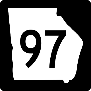
State Route 97 (SR 97) is a 57.2-mile-long (92.1 km) southwest-to-northeast state highway in the southwestern part of the U.S. state of Georgia. The highway's southern terminus is at the Florida state line, southwest of Faceville, where the roadway continues as County Road 269A to US 90 in Florida. Its northern terminus is at SR 37 in Camilla. The highway connects Faceville with Camilla, via Bainbridge, Vada, and Hopeful.
State Route 753 is a state highway in Ohio. The route is 35.35 miles (56.89 km) long and is located in eastern Highland County and southeastern Fayette County. The route's southern terminus is at an intersection with SR 41 in Brush Creek Township and its northern terminus is at an intersection with U.S. Route 62 and SR 3 on the border of Washington Court House and Union Township.

South Carolina Highway 292 (SC 292) is a 13.640-mile-long (21.951 km) state highway in the U.S. state of South Carolina. The highway connects Duncan and the Inman area, via Lyman.

