Model Industries Building

Last updated
The Model Industries Building Alcatraz Outside 11.JPG
The Model Industries Building

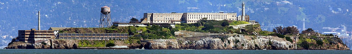
The Model Industries building or Industries Building is a three/four-story building on the northwest corner of Alcatraz Island off the coast of San Francisco, USA. This building was originally built by the U.S. military and was used as a laundry building until the New Industries Building was built as part of a redevelopment program on Alcatraz in 1939 when it was a federal penitentiary. As part of the Alcatraz jail, it held workshops for inmates to work in.

Alcatraz Island island in San Francisco, California, United States of America

Alcatraz Island is located in San Francisco Bay, 1.25 miles (2.01 km) offshore from San Francisco, California, United States. The small island was developed with facilities for a lighthouse, a military fortification, a military prison, and a federal prison from 1934 until 1963. Beginning in November 1969, the island was occupied for more than 19 months by a group of Native Americans from San Francisco, who were part of a wave of Native activism across the nation, with public protests through the 1970s. In 1972, Alcatraz became part of a national recreation area and received designation as a National Historic Landmark in 1986.

San Francisco Consolidated city-county in California, US

San Francisco, officially the City and County of San Francisco, is a city in, and the cultural, commercial, and financial center of, Northern California. San Francisco is the 13th-most populous city in the United States, and the fourth-most populous in California, with 883,305 residents as of 2018. It covers an area of about 46.89 square miles (121.4 km2), mostly at the north end of the San Francisco Peninsula in the San Francisco Bay Area, making it the second-most densely populated large US city, and the fifth-most densely populated U.S. county, behind only four of the five New York City boroughs. San Francisco is also part of the fifth-most populous primary statistical area in the United States, the San Jose–San Francisco–Oakland, CA Combined Statistical Area.

New Industries Building building in San Francisco, California, United States

The New Industries Building is a building on the western end of Alcatraz Island off the coast of San Francisco, USA. It was constructed in 1939 for $186,000 as part of a $1.1 million modernization scheme which also included the water tower, power house, officers quarters and remodeling of the D-block.

On January 10, 1935, the building shifted to within 2.5 feet from the edge of the cliff following a landslide caused by a severe storm. The warden at the time, James A. Johnston, proposed to extend the seawall next to it and asked the Bureau for $6500 to fund it; he would later claim to dislike the building because it was irregularly shaped. [1] A smaller, cheaper riprap was completed by the end of 1935. A guard tower and a catwalk from Hill Tower was added to the roof of the Industries Building in June 1936 and the building was made secure with bars from old cells to bar the windows and grill the roof ventilators and to prevent inmates from escaping from the roof. [1] It ceased use as a laundry in 1939 when it was moved to the upper floor of the New Industries Building. Today the building is heavily rusted after decades of exposure to the salt air and wind, and neither the guard tower on top of the building nor the Hill Tower have survived.

Guard tower

A guard tower is any military tower used for guarding an area. These towers are usually operated by military personnel, and are structures built in areas of established control. These include military bases and cities occupied by military forces. This type of fortification is a variation on the tower incorporated into the walls of castles from history, and are, in the modern day, equipped with such facilities as heavier weapons than those carried by infantry and searchlights.

Images

The Model Industries Building is the irregular shaped building on the bottom corner Alcatraz aerial.jpg
The Model Industries Building is the irregular shaped building on the bottom corner
The Model Industries Building is labelled on the map of Alcatraz Map of Alcatraz.png
The Model Industries Building is labelled on the map of Alcatraz

Related Research Articles

References

  1. 1 2 "The History of Alcatraz". Alcatrazhistory.com. Retrieved 31 August 2012.

Coordinates: 37°49′40″N122°25′31″W / 37.82778°N 122.42528°W / 37.82778; -122.42528

Geographic coordinate system Coordinate system

A geographic coordinate system is a coordinate system that enables every location on Earth to be specified by a set of numbers, letters or symbols. The coordinates are often chosen such that one of the numbers represents a vertical position and two or three of the numbers represent a horizontal position; alternatively, a geographic position may be expressed in a combined three-dimensional Cartesian vector. A common choice of coordinates is latitude, longitude and elevation. To specify a location on a plane requires a map projection.