Related Research Articles

Nenagh meaning “The Fair of Ormond” or simply "The Fair", is the county town and second largest town in County Tipperary in Ireland. Nenagh used to be a market town, and the site of the East Munster Ormond Fair.

Roscrea is a market town in County Tipperary, Ireland, which in 2016 had a population of 5,446. Roscrea is one of the oldest towns in Ireland, having developed around the 7th century monastery of Saint Crónán of Roscrea, parts of which remain preserved today.

Cloughjordan, officially Cloghjordan, is a town in County Tipperary in Ireland. It is in the barony of Ormond Lower, and it is also a parish in the Roman Catholic Diocese of Killaloe.

Borrisokane is a town in County Tipperary, Ireland. It is situated at the junction of the N52 and N65 national secondary roads. At the 2016 census, it had a population of 942. The Ballyfinboy River flows through the town on its way to Lough Derg, 12 km (7 mi) to the west. It is also a civil parish in the historical barony of Ormond Lower and an Ecclesiastical parish in the Roman Catholic Diocese of Killaloe.

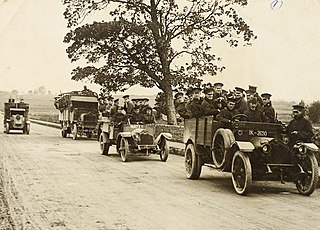
This is a timeline of the Irish War of Independence of 1919–21. The Irish War of Independence was a guerrilla conflict and most of the fighting was conducted on a small scale by the standards of conventional warfare.

Cloughjordan railway station serves the town and surrounding area of Cloughjordan, County Tipperary in the Midwest of Ireland. The station is located 1 km south west of the town centre on the Templemore Road.

Moneygall is a small village on the border of counties Offaly and Tipperary, in Ireland. It is situated on the R445 road between Dublin and Limerick. There were 313 people living in the village as of the 2016 census. Moneygall has a Catholic church, motorway service station, a car sales and repair centre, a national school, a Garda station and two pubs. The nearest Church of Ireland church, Borrisnafarney, is 2 km from the village beside the former Loughton Demesne.

Shinrone is a village in County Offaly, Ireland. It is in the southernmost part of the county, close to the border with County Tipperary. It lies at the junction of the R491 regional road between Nenagh and Roscrea with the R492 to Sharavogue. At the 2016 census, the village population was 645.
Eminiska is a townland in the Barony of Ormond Lower, County Tipperary, Ireland. Situated between Borrisokane and Cloughjordan,
Garraunorish , is a townland in the Barony of Ormond Lower in County Tipperary, Ireland. It is located in the civil parish of Modreeny towards Cloughjordan.
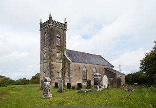
The Board of First Fruits was an institution of the Church of Ireland that was established in 1711 by Anne, Queen of Great Britain to build and improve churches and glebe houses in Ireland. This was funded from taxes collected on clerical incomes which were in turn funded by tithes. The board was replaced in 1833 by the Board of Ecclesiastical Commissioners.
Kilruane is a townland and civil parish in the historical barony of Ormond Lower, County Tipperary in Ireland. It is located between Nenagh and Cloughjordan.

Feigh West is a townland in the Barony of Ormond Lower, County Tipperary, Ireland. It is located north east of Borrisokane.
Mullenkeagh is a townland in the Barony of Ormond Lower in County Tipperary, Ireland. It is located at the west end of Cloughjordan Main Street in the civil parish of Modreeny. The alternative spelling of Mulinkeagh is recognised.
The Ballyfinboy River rises close to Moneygall in County Offaly, Ireland and flows in a generally northwesterly direction into Lough Derg at Drominagh. It forms part of the boundary between County Tipperary and County Offaly. The river flows through the towns of Cloughjordan and Borrisokane west of which it flows past Ballyfinboy Castle, a ruined tower house with a Sheela na gig in the townland of Ballyfinboy.
Aglish is a small settlement in County Tipperary in Ireland. It is in the Civil parish and electoral division of Aglishcloghane in the historical barony of Ormond Lower. It is located approximately 7 km north of Borrisokane, 1 km east of the R438 road.
Kylebeg is a townland in the historical Barony of Ormond Upper, County Tipperary, Ireland.

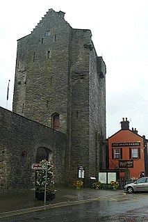
Roscrea Castle is a 13th-century motte castle in the town of Roscrea, Ireland. The Castle consists of a walled courtyard, gate block, and angled towers. Along with 18th century Damer House and gardens, the Castle forms part of Roscrea Heritage Centre.

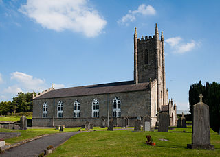
St. Cronan's Church is a 19th-century Church of Ireland church in Roscrea, County Tipperary, Ireland. The church was constructed in 1812 on the site of the original 12th century Romanesque church. The grounds include a graveyard and a replica high cross, enclosed by a rubble stone wall, cast iron gate and railings.

James Sheane was an architect from Roscrea, County Tipperary, Ireland.
References
- ↑ "Bunachar Logainmneacha na hÉireann - Placenames Database of Ireland". logainm.ie. Retrieved 22 May 2013.
- ↑ "Hunting Association of Ireland". Archived from the original on 28 July 2014. Retrieved 27 July 2013.
- ↑ the National Inventory of Architectural Heritage
- ↑ the National Inventory of Architectural Heritage
- ↑ the National Inventory of Architectural Heritage
- ↑ "Tipperary, Modreeny, Glebe House". Dictionary of Irish Architects 1720-1940. Retrieved 25 September 2021.
- ↑ Nenagh News, Saturday, 25 August 1923; Page: 3
- ↑ "June 1921". Dcu.ie. Archived from the original on 5 September 2007. Retrieved 22 May 2013.
- ↑ "Ambush at Kallegbeg Cross". Dcu.ie. Archived from the original on 11 June 2011. Retrieved 22 May 2013.
- ↑ PhotoBucket Album
Coordinates: 52°57′N8°03′W / 52.950°N 8.050°W