
U.S. Route 160 (US 160) is a 1,465-mile-long (2,358 km) east–west United States Numbered Highway in the Midwestern and Western United States. The western terminus of the route is at US 89 five miles (8.0 km) west of Tuba City, Arizona. The eastern terminus is at US 67 and Missouri 158 southwest of Poplar Bluff, Missouri. Its route, if not its number, was made famous in song in 1975, as the road from Wolf Creek Pass to Pagosa Springs, Colorado in C.W. McCall's country music song "Wolf Creek Pass".

U.S. Route 91 or U.S. Highway 91 is a 172.7-mile-long (277.9 km) north–south United States highway running from Brigham City, Utah, to Idaho Falls, Idaho, in the U.S. states of Idaho and Utah. Despite the "1" as the last digit in the number, US 91 is no longer a cross-country artery, as it has mostly been replaced by Interstate 15. The highway currently serves to connect the communities of the Cache Valley to I-15 and beyond. Prior to the mid-1970s, US 91 was an international commerce route from Long Beach, California, to the Canada–US border north of Sweetgrass, Montana. US 91 was routed on the main streets of most of the communities it served, including Las Vegas Boulevard in Las Vegas and State Street in Salt Lake City. From Los Angeles to Salt Lake, the route was built along the corridor of the Arrowhead Trail. A portion of the highway's former route in California is currently State Route 91.

U.S. Route 191 is a spur of U.S. Route 91 that has two segments. The southern segment runs for 1,102 miles (1,773 km) from Douglas, Arizona on the Mexican border to the southern part of Yellowstone National Park. The northern segment runs for 442 miles (711 km) from the northern part of Yellowstone National Park to Loring, Montana, at the Canada–US border. Unnumbered roads within Yellowstone National Park connect the two segments. The highway passes through the states of Arizona, Utah, Wyoming, and Montana.

Interstate 15 Business is a business loop of Interstate 15 (I-15) in Cascade County, Montana, United States, almost entirely within Great Falls. The route links I-15 with the center of Great Falls. As its business loop designation implies, I-15 Bus. terminates at I-15 at each end. The southernmost 0.83 miles (1.34 km) of the route from the interchange with I-15 to Fox Farm Road is designated, but not signed, as Interstate 315 (I-315). I-315 is the second shortest Interstate in the country; only the unsigned I-878 in New York is shorter; it is also the northernmost auxiliary Interstate of I-15.

South Dakota Highway 44 (SD 44) is a state highway in southern South Dakota that runs from U.S. Route 385 (US 385) west of Rapid City to Interstate 29 (I-29) south of Sioux Falls. It is just more than 379 miles (610 km) long.

State Route 22 is a 172.8-mile long (278.1 km) south-to-north state highway in the western part of Tennessee, United States. It begins at the Mississippi state line in McNairy County, where the roadway continues as Mississippi Highway 2. It ends at the Kentucky state line in Lake County, when it crosses into the Kentucky Bend, a detached portion of Fulton County, Kentucky. The monument for the 1862 Battle of Island Number Ten in the American Civil War is located on SR 22, about 3 mi (4.8 km) north of Tiptonville.

State Trunk Highway 50 is a 44.43-mile (71.50 km) state highway in Walworth and Kenosha counties in Wisconsin, United States, that runs from Wisconsin Highway 11 (WIS 11) in Delavan east to Wisconsin Highway 32 (WIS 32) in Kenosha. The highway is maintained by the Wisconsin Department of Transportation.
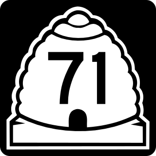
State Route 71 (SR-71) is a state highway completely within the Salt Lake City metropolitan area in the northern portion of the US state of Utah. It runs from SR-154 in the southwest side of the city to SR-186 in Downtown Salt Lake City. The route spans 22.47 miles (36.16 km) as it runs along portions of 12600 South, 12300 South, 900 East, and 700 East streets.

State Route 44 (SR 44) is a 94.2-mile-long (151.6 km) state highway that runs southwest-to-northeast through portions of Jones, Putnam, Greene, Taliaferro, Wilkes, and Lincoln counties in the central and east-central parts of the U.S. state of Georgia. The route connects Gray with the central portion of Lincoln County, northwest of Lincolnton.

Montana Highway 69 (MT 69) is a route running northerly from an intersection with MT 55 in the community of Whitehall. The highway extends approximately 38 miles (61 km) to an intersection with Interstate 15 (I-15) at the northern edge of the town of Boulder. Most of the route follows the Boulder River valley, a scenic and relatively unspoiled rural landscape.

There are a number of special routes of U.S. Route 2 (US 2). These special routes connect US 2 to downtown areas, bypass city centers, or provide alternate routes around an area.
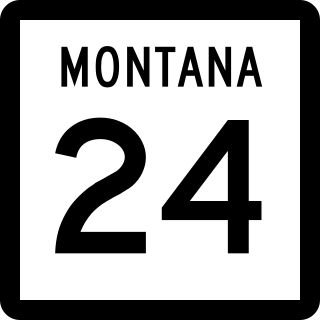
Montana Highway 24 (MT 24) is a 134-mile-long (216 km) state highway in the US state of Montana. It begins at MT 200 near Brockway, and ends at the Saskatchewan border at Port of Opheim. Along the way, it intersects MT 117, MT 42 and US Highway 2 (US 2).

In the U.S. state of Nevada, U.S. Route 93 is a major United States Numbered Highway traversing the eastern edge of the state. The highway connects the Las Vegas area to the Great Basin National Park, and provides further connections to Ely and Wells. US 93 also provides the majority of the most direct connection from the major metropolitan areas of Las Vegas and Phoenix to the Boise, Idaho metropolitan area.
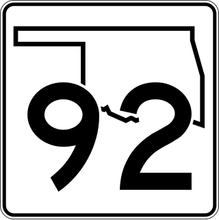
State Highway 92, usually abbreviated as SH-92 or OK-92, is a highway in the city of Chickasha. It is 18.2 miles (29.3 km) long and stretches from US-277/62 in Chickasha to SH-37 in Tuttle.

State Route 96 (SR 96) is a 94.9-mile-long (152.7 km) state highway that travels west-to-east through portions of Talbot, Taylor, Crawford, Peach, Houston, Twiggs, and Wilkinson counties in the west-central and central parts of the U.S. state of Georgia. The highway travels from its western terminus at US 80/SR 22/SR 41/SR 540 in Geneva to its eastern terminus at US 441/SR 29 south-southeast of Irwinton.
Interstate 15 Business may refer to several business routes of the Interstate Highway System that connects Interstate 15 with the central business district of various cities bypassed by I-15. The business route in each community is considered a unique route. In many cases, these routes are a former section of a U.S. Route or state highway.

U.S. Highway 87 is a north-south United States Numbered Highway in the state of Montana. It extends approximately 444.4 miles (715.2 km) from the Wyoming state line north to its terminus at US 2 near Havre.

Interstate 90 Business may refer to several business routes of the Interstate Highway System that connects Interstate 90 with the central business district of various cities bypassed by I-90. Each business route can be either a business loop or a business spur, depending on whether both ends connect to I-90. The business route in each community is considered a unique route. In many cases, these routes are a former section of a U.S. Route.

U.S. Highway 20 (US 20) is an east–west highway in the state of Wyoming. The eastern segment of US 20 in the state starts at the eastern entrance to Yellowstone National Park along with the western terminuses of US 14 and US 16. US 14/US 16/US 20 runs east to Greybull, where US 14 continues east and US 16/US 20 turns south; at Worland, US 16 turns east while US 20 continues south, passing through Wind River Canyon south of Thermopolis. US 20 joins US 26 in Shoshoni, where it turns east and continues all the way through Casper. From Casper, US 20/US 26 parallels Interstate 25 (I-25) and US 87 for 26 miles (42 km), until all four link up together just southeast of Glenrock. I-25/US 20/US 26/US 87 stays combined to Orin, where US 20 turns east from I-25, at the western end of US 18. US 18/US 20 run concurrently from Orin to Lusk, where US 18 turns north and US 20 continues east into Nebraska.


