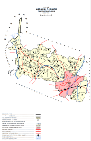
Arrah is a city and a municipal corporation in Bhojpur district in the Indian state of Bihar. It is the headquarters of Bhojpur district, located near the confluence of the Ganges and Sone rivers, some 24 mi (39 km) from Danapur and 36 mi (58 km) from Patna.
The Ranvir Sena is a militia functioning as a landlord group, mainly based in the state of Bihar, India. The group was formed by Bhumihar landlords in 1994, with the aim to counter the influence of various left-wing militants, Naxalite groups and the Communist Party of India (Marxist–Leninist) Liberation (CPI-ML) in central Bihar. The Ranvir Sena has been connected to a number of massacres including the massacre at Laxmanpur Bathe. It has, on several occasions, been accused of human rights abuses. The Bihar state government banned the Ranvir Sena in July 1995, but the group continue to remain active. The group has frequently publicly claimed responsibility for its crimes with impunity.

Piro is a nagar parishad town and corresponding community development block in Bhojpur District, in the Indian state of Bihar.

Shahpur is a town and a notified area in Bhojpur district in the Indian state of Bihar.

Bhojpur district is one of the thirty-eight districts of the Indian state of Bihar. Arrah town is the administrative headquarters of this district. Bhojpur district came into existence in 1972. Earlier it was the part of Shahabad district. This district is named "Bhojpur" after great Parmara King Bhoja as most early settlers were Rajput rulers of Parmara dynasty then called as Ujjainiya.
Maudihan is a village in the Rohtas District of Bihar state, India. It is 14 km north of Dehri-On-Sone, an industrial city. It is located on Dehri-Patna road. It is also referred to as 'Maudiha'.

Jagdishpur is a nagar panchayat town of the district Bhojpur of the state of Bihar in eastern India. It was the capital of the eponymous Jagdishpur estate, ruled by Rajputs of the Ujjainiya clan. One of its rulers, Kunwar Singh, was a major figure in the Indian Rebellion of 1857, considered the leader of the rebellion in Bihar.
The Paswan, also known as Dusadh, are a Dalit community from eastern India. They are found mainly in the states of Bihar, Uttar Pradesh and Jharkhand. The Urdu word Paswan means bodyguard or "one who defends". The origin of the word, per the belief of the community, lies in their participation in the battle against Siraj-ud-daulah, the Nawab of Bengal at the behest of British East India Company, after which they were rewarded with the post of Chowkidars and lathi wielding tax collector for the Zamindars. They follow certain rituals such as walking on fire to assert their valour.
Ekwari is a village in the Sahar Block of the Bhojpur district in the Indian state of Bihar. Bhojpur district is a part of the Patna division.
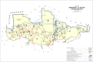
Barhara, also spelled Badahar, Barahara, or Barahra, is a village and corresponding community development block in Bhojpur District of Bihar, India. It is situated on the bank of the river Ganges. By the time of July–August most of the villages under this block are affected by deluge. As of 2011, its population was 6,889, in 927 households, while the total block population was 240,636, in 35,185 households.

Sahār is a village and community development block in Bhojpur district of Bihar, India. The sub-district contains 51 inhabited villages, including that of Sahar itself, with a total district population of 110,276 as of 2011. The village of Sahar has a population of 5,674, in 931 households. Sahar was a major center of conflict during the wider Naxalite insurgency in Bhojpur in the late 1960s and throughout the 1970s.
Babura is a large village in Barhara block of Bhojpur district in Bihar, India. As of 2011, its population was 28,412, in 4,291 households. That year, it was the most populous village in Bhojpur district.
Garaiyan, also spelled Gareyan or Gariyan, is a small village in Arrah block of Bhojpur district, Bihar, India. As of 2011, its population was 2, in 1 household, making it the least populous village in Bhojpur district.
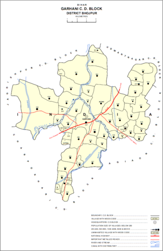
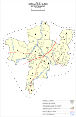
Garhani is a village and corresponding community development block in Bhojpur district of Bihar, India. As of 2011, its population was 5,597, in 959 households. The total block population was 103,262, in 16,427 households.

Udwantnagar is a village and corresponding community development block in Bhojpur district of Bihar, India. As of 2011, its population was 9,000, in 1,496 households. The total block population was 157,809, in 24,336 households.

Charpokhari is a village and corresponding community development block in Bhojpur district of Bihar, India. As of 2011, its population was 1,874, in 314 households. The total block population was 101,363, in 15,961 households.
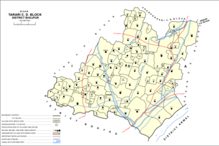
Tarari is a village and corresponding community development block in Bhojpur district of Bihar, India. As of 2011, its population was 3,586, in 393 households. The total block population was 182,631, in 28,316 households.

Agiaon is a village and corresponding community development block in Bhojpur district of Bihar, India. As of 2011, its population was 4,801, in 835 households. The total block population was 148,373, in 23,117 households.

Sandesh is a village and corresponding community development block in Bhojpur district of Bihar, India. As of 2011, its population was 6,874, in 1,037 households. The total block population was 109,712, in 17,011 households.
Jalpura Tapa is a village and gram panchayat in Koilwar block, Bhojpur district in the Indian state of Bihar. Situated close to the Sone River, it is a large village with more than 12,000 residents. Population-wise it is the largest village and area-wise, it is the 2nd-largest village of Koilwar block.