Related Research Articles

Neosho County is a county located in Southeast Kansas. As of the 2010 census, the county population was 16,512. The county seat is Erie.

Labette County is a county located in Southeast Kansas. As of the 2010 census, the county population was 21,607. Its county seat is Oswego, and its most populous city is Parsons. The county was named after LaBette creek, the second-largest creek in the county, which runs roughly NNW-SSE from near Parsons to Chetopa. The creek in turn was named after French-Canadian fur trapper Pierre LaBette who had moved to the area, living along the Neosho River, and marrying into the Osage tribe in the 1830s and 1840s.

Altamont is a city in Labette County, Kansas, United States. As of the 2010 census, the city population was 1,080.

Labette is a city in Labette County, Kansas, United States. As of the 2010 census, the city population was 78.

Mound Valley is a city in Labette County, Kansas, United States. As of the 2010 census, the city population was 407.
Mound Valley may refer to:

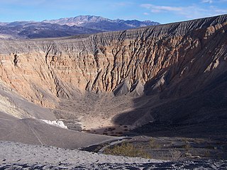
Ubehebe Crater is a large volcanic crater of the Ubehebe Craters volcanic field in the northern half of Death Valley, in Death Valley National Park, California, United States.

Southeast Kansas is a region of the U.S. state of Kansas. It can be roughly defined by Woodson County in the northwest, Bourbon County in the northeast, Cherokee County in the southeast, and Montgomery County in the southwest. Geographically it is dominated by a broad rolling landscape located between the Flint Hills to the west and includes the Ozarks to the southeast. Some notable towns there include Pittsburg, Parsons, Coffeyville, Independence, Chanute, Fort Scott, and Iola.

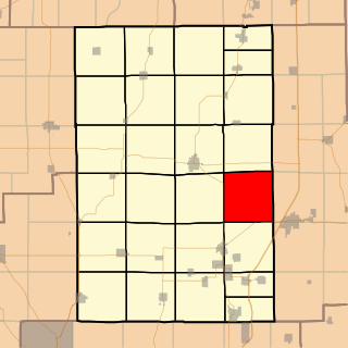
Honey Point Township is located in Macoupin County, Illinois, United States. As of the 2010 census, its population was 155 and it contained 87 housing units.
The Briones Valley is a major geological feature of Contra Costa County, California and runs between Mount Diablo and the county seat of Martinez. Also it is the seat of many riparian watersheds, especially of Alhambra Creek.

Cope is an unincorporated community in Green Township, Morgan County, in the U.S. state of Indiana.

Marion Township is a township in Douglas County, Kansas, USA. As of the 2000 census, its population was 836. It was named after the former town of Marion which in turn was named after Francis Marion.

Anchor is an unincorporated community in central Brazoria County, Texas, united States. The location of Anchor is at the intersection of Farm to Market Road 521 and County Road 44, 4 miles (6.4 km) northwest of Angleton.

The New Mexico Bootheel comprises the southwestern corner of New Mexico. As part of the Gadsden Purchase it is bounded on the east by the Mexican state of Chihuahua along a line at 31°47′0″N108°12′30″W extending south to latitude 31°20′0″N at 31°20′0″N108°12′30″W. The southern border is shared between the Mexican States of Chihuahua and Sonora along latitude 31°20′0″N, while the western border with Arizona is along meridian 109°03′0″W at 31°20′0″N109°03′0″W, bounding an area of 50 by 30 miles and comprising 1,500 square miles (3,900 km2).

Chita is a town in Trinity County, Texas. It was settled around the Civil War era. In 1895, a post office was established, and in 1896, a school was founded. In 2000, the population was 81.
Valley Township is a township in Pottawattamie County, Iowa, USA.
Pleasant Valley Township is a township in Wilson County, Kansas, in the United States.
Labette County USD 506 is a public unified school district headquartered in Altamont, Kansas, United States. The district includes the communities of Altamont, Angola, Bartlett, Dennis, Edna, Labette, Mound Valley, western and southern Parsons, and nearby rural areas.
Blue Mound Township is a township in Vernon County, in the U.S. state of Missouri.

Pine Valley is an unincorporated community in Southeast Township, Orange County, in the U.S. state of Indiana.
References
Coordinates: 37°12′30″N95°27′01″W / 37.20833°N 95.45028°W
