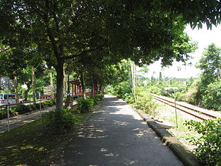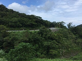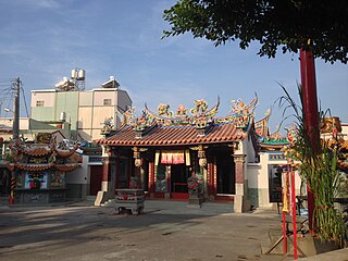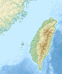
Wufeng District is a suburban district in southern Taichung, Taiwan. It is the location of Taiwan Provincial Consultative Council.

Jiji or Chichi is an urban township located in the west central portion of Nantou County, Taiwan. Jiji is the smallest of Taiwan's townships by area.

Yuchi Township is a rural township in the center of Nantou County, Taiwan. It is the location of the Sun Moon Lake, a famous lake and tourist attraction in Taiwan.

Tianzhong Township is an urban township located at eastern Changhua County, Taiwan. Its former name and current name (田中) make reference to the origin of the town in the center of rice paddies.

Maolin District is a mountain indigenous district of Kaohsiung, Taiwan. Maolin is one of the least populated districts in Taiwan, since it is located just to the south of the Central Mountain Range. The height ranges from 230 meters to 2700 meters above sea level, with a hot tropical and humid weather. The main population of Maolin district is the indigenous Rukai people. Maolin is well suited for tourism due to its unique scenery and ecology. Maolin National Scenic Area is located in the district.

Zuoying District is a district of Kaohsiung City in southern Taiwan. Zuoying District has the most populous village in Taiwan: Fushan Village.

Yanshuei District, alternatively spelled Yanshui, is a district in Tainan, Taiwan, which is famous for its notoriously dangerous fireworks festival. The annual event commemorates a cholera epidemic more than a century ago, the fireworks symbolizing the exorcism of demons associated with the plague. The festival, known as Fengpao, is celebrated on the 15th day after the beginning of the Lunar New Year, also called Shang Yuan Festival.

Nansi District, alternatively spelled Nanxi, is a rural district of about 8,951 residents in Tainan, Taiwan.

Daren Township (Chinese: 達仁鄉; pinyin: Dárén Xiāng; Wade–Giles: Ta2-jen2 Hsiang1) is a mountain indigenous township in Taitung County, Taiwan. The main population is the Paiwan people of the Taiwanese aborigines.

The Alishan Range is a mountain range in the central-southern region of Taiwan. It is separated by the Qishan River from the Yushan Range, the tallest range in Taiwan, to the east of the Alishan Range. The highest peak of the Alishan Range is Datashan (大塔山), which has a height of 2,663 m (8,737 ft). There is a famous Taiwanese song called "Alishan de Guniang" which is about a girl in the Alishan mountains. The name Ali Shan seems to be taken from the word "Alit", which in several Taiwanese indigenous languages means "ancestor mountain".

Taixi Township, is a rural township in Yunlin County, Taiwan, lying to the west of Dongshi, south of Mailiao and north of Sihu, and including a section of coastline on the Taiwan Strait.

Sanwan Township is a rural township in northern Miaoli County, Taiwan. It lies between the Taiwan Strait on the west and mountains on the east.

Sandimen Township is a mountain indigenous township in Pingtung County, Taiwan Province, Republic of China. The population of the township consists mainly of the Paiwan people with a substantial Rukai minority.

Chunri Township is a mountain indigenous township in Pingtung County, Taiwan. The main population is the Paiwan people of the Taiwanese aborigines.

Jiuru Township is a rural township in Pingtung County, Taiwan.

Zhongliao Township is a rural township in Nantou County, Taiwan.

The Yunlin Story House is a historic building in Huwei Township, Yunlin County, Taiwan.

State Temple of the Martial God, also called Tainan Sacrificial Rites Martial Temple or Grand Guandi Temple, is a temple located in Yongfu Road, West Central District, Tainan, Taiwan. This temple was previously the palace of Koxinga and Prince of Ningjing, members of the Ming imperial family who retreated to Taiwan in the dying days of the Ming dynasty.

East District is a district in east Hsinchu City, Taiwan. It is the second largest of the three districts in Hsinchu City. The East District is home to the Hsinchu Science and Industrial Park.

The Jufang Hall is a historical building in Nantou City, Nantou County, Taiwan.


