This article needs additional citations for verification .(July 2013) |
Narsingarh Narsingarh | |
|---|---|
Narsingarh town | |
| Nickname: Narsingarh Smart Town | |
 Narsingarh  Narsingarh | |
| Coordinates: 23°54′20″N91°15′08″E / 23.90556°N 91.25222°E | |
| bamutia | |
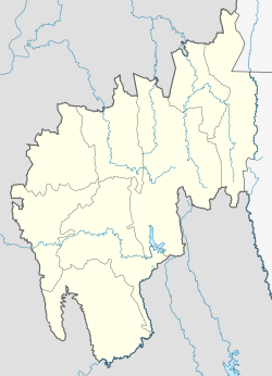
| State | Tripura |
| District | West Tripura |
| Founded by | The |
| Population (2022 by Rajc394) | |
• Total | 10,000 |
| Languages | |
| • Official | Bengali, Kokborok, English |
| Time zone | UTC+5:30 (IST) |
| Vehicle registration | TR |
| Website | tripura |
Narsingarh is a census town in West Tripura district in the Indian state of Tripura.