
Sakçagözü is a village in the Nurdağı of Gaziantep, Turkey. The population was 3000 in 1999. Located 3 km to the Northwest is the archaeological site of Coba Höyük, which contains Pottery Neolithic, Halaf, Ubaid, Late Chalcolithic/Uruk and Neo-Hittite material culture.
Baraki is a village in the administrative district of Gmina Siennica Różana, within Krasnystaw County, Lublin Voivodeship, in eastern Poland.
Żmijewo-Szawły is a village in the administrative district of Gmina Stupsk, within Mława County, Masovian Voivodeship, in east-central Poland.
Gümüşler Dam is a dam in Turkey. The development was backed by the Turkish State Hydraulic Works.
Çalca' is a village in the District of Hocalar, Afyonkarahisar Province, Turkey.
Sağırlar is a village in the District of Ceyhan, Adana Province, Turkey.
Yeniköy is a village in the District of Yüreğir, Adana Province, Turkey.
Noong Luống is a commune (xã) and village of the Điện Biên District of Điện Biên Province, northwestern Vietnam.
Müren, Elmalı is a village in the District of Elmalı, Antalya Province, Turkey.
Ulucak, Korkuteli is a village in the District of Korkuteli, Antalya Province, Turkey.
İmecik, Korkuteli is a village in the District of Korkuteli, Antalya Province, Turkey.
Demirciler is a village in the District of Manavgat, Antalya Province, Turkey.
Oymapınar, Manavgat is a village in the District of Manavgat, Antalya Province, Turkey.
Ulukapı, Manavgat is a village in the District of Manavgat, Antalya Province, Turkey.
Şatırlı, Serik is a village in the District of Serik, Antalya Province, Turkey.
Öküzlü is an archaeological site in Mersin Province, Turkey.
Velachery taluk is a taluk of the city district of Chennai in the Indian state of Tamil Nadu. It was formed in December 2013 from parts of the erstwhile Mambalam-Guindy and Mylapore-Triplicane taluks. It comprises the neighbourhoods of Besant Nagar, Tharamani, Thiruvanmiyur and Velachery.
Arap Islet is an uninhabited island of Turkey. According to Turkish Atlas it is situated on the borderline of Aegean Sea and the Mediterranean Sea. Administratively it is a part of Marmaris ilçe (district) of Muğla Province at 36°39′5″N28°8′48″E. It is very close to the mainland (Anatolia). The channel between the mainland and the island is quite shallow; no more than 6 metres (20 ft). Its surface area is about 0.025 square kilometres (0.0097 sq mi).
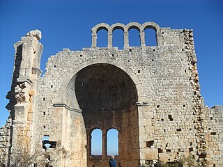
Typallia was a town of ancient Lycia.
Balabolu is a hill and an archaeological site on the hill in Mersin Province, Turkey.