
State Route 156, also known as Lee Canyon Road, is a state highway in Clark County, Nevada. The road is one of two highways connecting U.S. Route 95 to the Humboldt-Toiyabe National Forest and Spring Mountains area northwest of Las Vegas and its entire length is designated a Nevada Scenic Byway.

State Route 377 is a 6.6-mile (10.6 km) state highway in Nye County, Nevada, United States. The route connects the town of Manhattan to State Route 376. The highway previously existed as State Route 69.
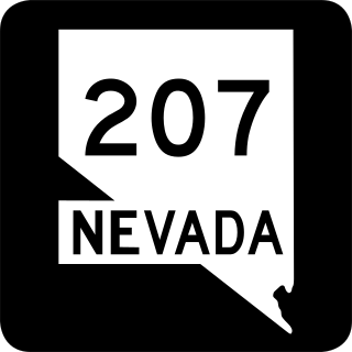
State Route 207 (SR 207) is an 11.082-mile (17.835 km) state highway in western Douglas County, Nevada, United States. Commonly known as the Kingsbury Grade, it is one of three Nevada highways that connect the western edge of the state to the Lake Tahoe region through the Carson Range. The route was part of State Route 19 prior to 1976.
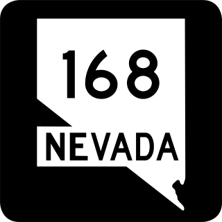
State Route 168 is a state highway in Clark County, Nevada, United States. Known as the Glendale–Moapa Road, the highway connects U.S. Route 93 to Interstate 15 (I-15) at Glendale about 25 miles (40 km) southeast. The route was designated as the southern end of State Route 7 in 1919, and served as part of US 93 from 1931 to 1967.

State Route 208 is a 37.893-mile (60.983 km) state highway in Douglas and Lyon counties in Nevada, United States. It connects U.S. Route 395 north of Topaz Lake to U.S. Route 95 Alternate in Yerington. The road serves as the primary transportation corridor of Smith Valley and is Main street in Yerington. The route was originally a portion of State Route 3.

State Route 266 is a 40.338-mile (64.918 km) state highway in Esmeralda County, Nevada, United States. It connects the routing of California State Route 266 east to U.S. Route 95 via the town of Lida. Lida Road previously carried the southern end of State Route 3.
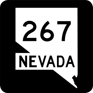
State Route 267 is a 21.427-mile (34.483 km) state highway in Nevada, United States. Known as Scotty's Castle Road, the highway connects Death Valley National Park to U.S. Route 95. The route was previously designated State Route 72.

State Route 290 is a state highway in Humboldt County, Nevada. It serves to connect U.S. Route 95 to the community of Paradise Valley. The road was originally established as State Route 8B by the early 1930s.
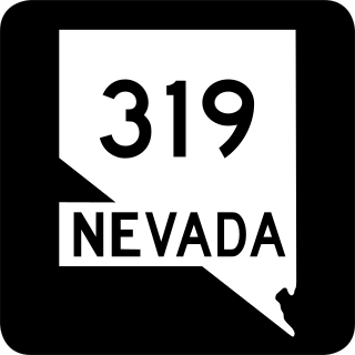
State Route 319 is a state highway in Lincoln County, Nevada. The route connects the town of Panaca to Modena, Utah. SR 319 has been part of the state highway system since at least 1932, and was part of the longer State Route 25 prior to the late 1970s.

State Route 338 is a state highway in Lyon County, Nevada, United States. It connects the towns of Smith and Wellington to the California state line north of Bridgeport, California. Much of the route has served as a road through this section of Nevada since at least 1919, and was known as State Route 22 from the 1920s until the late 1970s.

State Route 341 is a state highway in western Nevada connecting US 50 near Dayton to Reno via Virginia City. Commonly known as the Virginia City Highway, or Geiger Grade north of Virginia City, the route has origins dating back to the 1860s.

State Route 360 is a 23.245-mile-long (37.409 km) state highway in the southern portion of Mineral County, Nevada, United States. The route connects the former town of Basalt to the rest of Mineral County. A road has been in the place of SR 360 since 1919, and became State Route 10 by 1929.

State Route 372 is a short state highway in Nye County, Nevada, United States. The route connects the town of Pahrump to the southeast side of Death Valley National Park via California State Route 178. The route was formerly a part of State Route 52 until being renumbered in 1976.

State Route 373 is a 16.304-mile-long (26.239 km) state highway in Nye County, Nevada, United States. It is a highway connecting California State Route 127 to U.S. Route 95, providing southern Nye County access to the eastern areas of Death Valley National Park.
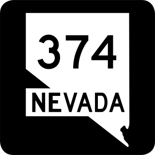
State Route 374 is a state highway in Nye County, Nevada, United States. It serves as Nevada's gateway to Death Valley National Park, connecting the park to Beatty. The highway was known as State Route 58 prior to 1976.

State Route 774 is a 7.455-mile (11.998 km) state highway in Esmeralda County, Nevada, United States. It is known as Gold Point Road, connecting the town of Gold Point to State Route 266. The route was originally part of former State Route 71.

State Route 757 is a state highway in Douglas County, Nevada. Formerly a part of State Route 19, the route connects the Genoa area to the Johnson Lane area.

State Route 379 covers Duckwater Road, a 19.532-mile (31.434 km) state highway in Nye County, Nevada, United States. The route serves the Duckwater Indian Reservation, connecting the community of Duckwater to U.S. Route 6 at Currant. The highway was formerly a part of State Route 20 prior to the 1970s.

State Route 789 is a state highway in Humboldt County, Nevada connecting the town of Golconda to nearby mining districts. Much of the route previously existed as State Route 18 prior to 1976.


