Sturgeon County is a municipal district the Edmonton Metropolitan Region of Alberta, Canada. It is north of Edmonton and east of the North Saskatchewan River. Sturgeon County is located in Division No. 11 and was named for the Sturgeon River.

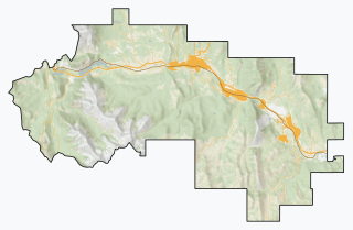
The Municipality of Crowsnest Pass is a specialized municipality in southwest Alberta, Canada. Within the Rocky Mountains adjacent to the eponymous Crowsnest Pass, the municipality formed as a result of the 1979 amalgamation of five municipalities – the Village of Bellevue, the Town of Blairmore, the Town of Coleman, the Village of Frank, and Improvement District No. 5, which included the Hamlet of Hillcrest and numerous other unincorporated communities.

Aldersyde is a hamlet in Alberta, Canada within the Foothills County. Located between Highway 2 and Highway 2A south of Highway 7, the hamlet is approximately 8 kilometres (5.0 mi) southeast of Okotoks, 10 kilometres (6.2 mi) north of High River and 25 kilometres (16 mi) south of Calgary. A Canadian Pacific Railway line runs through the hamlet.

Granum is a hamlet in southern Alberta, Canada that is under the jurisdiction of the Municipal District of Willow Creek No. 26. It is located at the junction of Highway 2 and Highway 519 west of Lethbridge. Incorporated as the Village of Leavings in 1904, it changed its name to Granum in 1908 and held town status between late 1910 and early 2020.
Alberta Municipal Affairs is a ministry of the Executive Council of Alberta. Its major responsibilities include assisting municipalities in the provision of local government, administering the assessment of linear property in Alberta, administering a safety system for the construction and maintenance of buildings and equipment, and managing Alberta's network of municipal and library system boards.

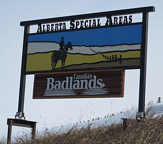
The Special Areas Board is the governing body of Alberta's special areas. Special areas are designated rural municipalities similar to municipal districts; however, the elected advisory councils are overseen by four representatives appointed by the province, under the direct authority of Alberta Municipal Affairs.

Grassy Lake is a hamlet in Alberta, Canada within the Municipal District of Taber. It is located on the Crowsnest Highway (Highway 3), midway between the cities of Lethbridge to the west and Medicine Hat to the east. It is approximately 13 km (8.1 mi) west of Burdett and 34 km (21 mi) east of Taber. It has an elevation of 810 metres (2,660 ft). It was formerly incorporated as a village, dissolving into the Municipal District of Taber on July 1, 1996.

Fabyan is a hamlet in central Alberta, Canada within the Municipal District of Wainwright No. 61. It is located on Highway 14, approximately 10 kilometres (6.2 mi) west of Wainwright, Alberta, and 78 kilometres (48 mi) southwest of Lloydminster. It is located near the Fabyan Trestle Bridge.

Greenshields is a hamlet in central Alberta, Canada within the Municipal District of Wainwright No. 61. It is located 4 kilometres (2.5 mi) east of Highway 41, approximately 74 kilometres (46 mi) southwest of Lloydminster.

Ribstone is a hamlet in central Alberta, Canada within the Municipal District of Wainwright No. 61. It is located approximately 16 kilometres (9.9 mi) south of Highway 14 and 65 kilometres (40 mi) southwest of Lloydminster.


