Oakford, Indiana | |
|---|---|
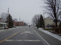 Approaching the railroad crossing in Oakford | |
 Oakford  Oakford | |
| Coordinates: 40°25′09″N86°06′15″W / 40.41917°N 86.10417°W | |
| Country | United States |
| State | Indiana |
| County | Howard |
| Township | Taylor |
| Elevation | 860 ft (260 m) |
| Time zone | Eastern Time Zone |
| ZIP code | 46902 |
| FIPS code | 18-55584 [2] |
| GNIS feature ID | 440462 [1] |
Oakford (originally called Fairfield [3] ) is an unincorporated community in southwestern Taylor Township, Howard County, Indiana, United States.
Contents
Oakford is part of the Kokomo, Indiana Metropolitan Statistical Area.
