
The Breg is a river, 46 kilometres long, in Baden-Württemberg, Germany, and the primary headstream of the Danube.

The Upper Rhine is the section of the Rhine in the Upper Rhine Plain between Basel in Switzerland and Bingen in Germany. The river is marked by Rhine-kilometres 170 to 529.

The Brigach is the shorter of two streams that jointly form the river Danube in Baden-Württemberg, Germany. The Brigach has its source at 925 m (3,035 ft) above sea level within St. Georgen in the Black Forest. The Brigach crosses the city Villingen-Schwenningen. 40.4 km (25.1 mi) from the source, the Brigach joins the Breg in Donaueschingen to form the Danube River.

Ahr is a river in Germany, a left tributary of the Rhine. Its source is at an elevation of approximately 470 metres (1,540 ft) above sea level in Blankenheim in the Eifel, in the cellar of a timber-frame house near the castle of Blankenheim. After 18 kilometres (11 mi) it crosses from North Rhine-Westphalia into Rhineland-Palatinate.

The Nahe is a river in Rhineland-Palatinate and Saarland, Germany, a left tributary to the Rhine. It has also given name to the wine region Nahe situated around it.

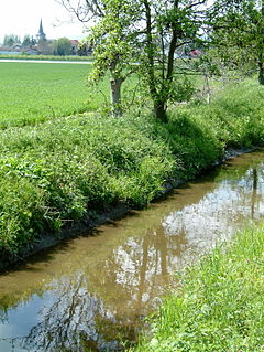
The Swist is a stream, 43.6 kilometres (27.1 mi) long, in the German Rhineland. It rises on the northern edge of the Eifel at 330 metres above sea level and empties rom the right and southeast into the Rhine tributary, the Erft, between Weilerswist and Bliesheim. Occasionally the Swist is also called the Swistbach, and locals often just call it der Bach.

The Queich is a tributary of the Rhine, which rises in the southern part of the Palatinate Forest, and flows through the Upper Rhine valley to its confluence with the Rhine in Germersheim. It is 52 kilometres (32 mi) long and is one of the four major drainage systems of the Palatinate Forest along with the Speyerbach, Lauter and Schwarzbach. The Queich flows through the towns Hauenstein, Annweiler am Trifels, Siebeldingen, Landau, Offenbach an der Queich and Germersheim.

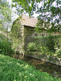
The Speyerbach is a left tributary of the Rhine in the Palatinate part of Rhineland-Palatinate. In Speyer, the river split into Gießhübelbach and Woogbach. The Woogbach changes its name to Nonnenbach, then flows into Gießhübelbach shortly before the latter flows into the Rhine.

The Rehbach is a river in Rhineland-Palatinate. It is about 29 kilometres (18 mi) long and is a left tributary of the Rhine.

The Isenach is a left tributary of the Rhine in the northeastern Palatine region of Rhineland-Palatinate. It is nearly 36 kilometres (22 mi) long.
The Eckbach is a small river in the northeastern Palatinate and the southeastern Rhenish Hesse. It is slightly over 39 kilometres (24 mi) long.

The Pfrimm is a 42.7-kilometre-long (26.5 mi), left or western tributary of the Rhine in the Rhineland-Palatinate (Germany).

The Erlenbach is a 34.2 km long, left tributary of the Michelsbach in the German state of Rhineland-Palatinate.
The Klingbach is a stream, just under 38 kilometres (24 mi) long, in South Palatinate, Germany, and a left-hand tributary of the Michelsbach.

The Michelsbach is a tributary of the Rhine in the German region of South Palatinate.

The Modenbach is a stream, just under 30 kilometres (19 mi) long, and a right-hand tributary of the Speyerbach in the German state of Rhineland-Palatinate.

The Hainbach, historically also called the Heimbach, in its lower reaches also called the Wooggraben and Krebsbächel, is a river, overt 33 kilometres long, and a right tributary of the Speyerbach in the German state of Rhineland-Palatinate.

The Enz is a 37.9-kilometre-long (23.5 mi), orographically right-hand tributary of the Prüm in the Eifel mountains of Germany.

The Mehrbach is a river, 23-kilometre-long (14 mi) long, and a tributary of the Wied. Its GKZ is 27164, its catchment has an area of 65.868 km2 (25.432 sq mi).

The Brexbach is a river, just under 22 kilometres (14 mi) long, and an orographically left-hand tributary of the Saynbach in the German state of Rhineland-Palatinate.
