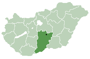
Pest is a county (vármegye) in central Hungary. It covers an area of 6,393.14 square kilometres (2,468.41 sq mi), and has a population of 1,339,090 (2023). It surrounds the national capital Budapest and the majority of the county's population live in the suburbs of Budapest. It shares borders with Slovakia and the Hungarian counties Nógrád, Heves, Jász-Nagykun-Szolnok, Bács-Kiskun, Fejér, and Komárom-Esztergom. The River Danube flows through the county. The capital of Pest County is Budapest, although Budapest is not part of Pest County. Starting 2018, they also constitute different NUTS:HU level 2 regions, as previously Pest County has lost catch-up aids from the European Union because of the high development of Budapest.
Dietikon District is a district of the Swiss canton of Zürich. The capital of the district of Dietikon is the city of Dietikon, located in the Limmat Valley.

Csólyospálos is a village in Bács-Kiskun county, Hungary.

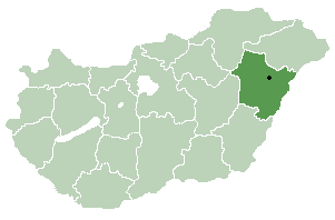
Nagyhegyes is a village in Hajdú-Bihar county, in the Northern Great Plain region of eastern Hungary.

Létavértes is a town in Hajdú-Bihar county, in the Northern Great Plain region of eastern Hungary.

Hajdúszovát is a village in Hajdú-Bihar county, in the Northern Great Plain region of eastern Hungary.
Tiszatenyő is a village in Jász-Nagykun-Szolnok county, in the Northern Great Plain region of central Hungary.
Horvátzsidány is a small village in Vas County, Hungary. Writer Jakab Szabár was born here.

Iklanberény is a village in Vas county, Hungary.

Kiszsidány is a village in Vas County, Hungary.

Pápoc is a village in Vas county, Hungary.
Simaság is a village in Vas county, Hungary.
Tompaládony is a village in Vas county, Hungary.
Vámoscsalád is a village in Vas county, Hungary.

Galgamácsa is a village in Pest county, Hungary. Since 2019, the mayor has been Tamás Ecker.
Mende, Hungary is a village in Pest County, Hungary.
Tatárszentgyörgy is a village in Pest county, Hungary.
Rábaszentmiklós is a village in Hungary, in the Győr-Moson-Sopron county.

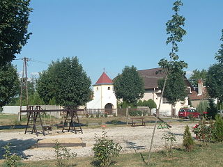
Magyarföld is a village in Zala County, Hungary.

Monor is a district in central-eastern part of Pest County. Monor is also the name of the town where the district seat is found. The district is located in the Central Hungary Statistical Region.


