
Trofa is a municipality in the north of the Porto metropolitan area in Portugal. The population in 2011 was 38,999, in an area of 72.02 km².
Valongo is a Portuguese municipality located in the District of Porto. The city population is 18,698, and the municipality is composed of 4 parishes, of which three are cities. The population in 2011 was 93,858, in an area of 75.12 km². The two most populous cities in the Valongo municipality are Ermesinde, with a population of 38,315, which is essentially a residential suburb of Porto and Alfena which has the most industry in the municipality.

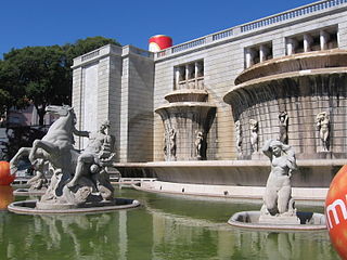
Benfica is a Portuguese civil parish (freguesia), located in the municipality of Lisbon. The population in 2011 was 36,985, in an area of 8.03 km².
Rio Maior is a municipality in the Santarém District in Portugal. The population in 2011 was 21,192, in an area of 272.76 km².
Aborim is a Portuguese freguesia, located in the municipality of Barcelos. The population in 2011 was 891, in an area of 6.18 km².
Arcozelo is a Portuguese freguesia in the municipality of Barcelos. The population in 2011 was 12,840, in an area of 3.44 km². It is the most populated parish in the municipality.

Barcelinhos is a Portuguese freguesia, located in the municipality of Barcelos. The population in 2011 was 1,781, in an area of 2.76 km².
Palme is a Portuguese freguesia, located in the municipality of Barcelos. The population in 2011 was 1,073, in an area of 8.31 km².
Panque is a Portuguese freguesia, located in the municipality of Barcelos. The population in 2011 was 680, in an area of 6.29 km².
Paradela is a Portuguese freguesia, located in the municipality of Barcelos. The population in 2011 was 850, in an area of 8.36 km².

Moreira de Cónegos is a Portuguese freguesia and town in the municipality of Guimarães which is in the Braga District in northern Portugal. The population in 2011 was 4,853, in an area of 4.72 km².
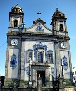
Esposende is a city and a municipality in Braga District in Portugal. The population in 2011 was 34,254, in an area of 95.41 km². The city itself had a population of 9,197 in 2001. It gained city status on 2 July 1993. The present Mayor is Fernando Couto Cepa, elected by the Social Democratic Party. The municipal holiday is August 19. It is located on the Portuguese Way of the Camino de Santiago.
Santa Maria Maior is a Portuguese freguesia of the municipality of Lisbon. The population in 2011 was 12,822, in an area of 3.01 km². The new freguesia covers part of the old city centre, including the neighbourhoods of Alfama, Baixa and part of Bairro Alto.
Santa Clara is a Portuguese civil parish (freguesia), located in the municipality of Lisbon. This new parish was created with the 2012 Administrative Reform of Lisbon, merging the former Charneca and Ameixoeira parishes. The population in 2011 was 22,480, in an area of 3.36 km².
Areeiro is a Portuguese freguesia, located in the municipality of Lisbon. This new parish was created with the 2012 Administrative Reform of Lisbon, merging the former parishes of Alto do Pina and São João de Deus. The population in 2011 was 20,131, in an area of 1.74 km².
Arroios is a Portuguese freguesia, located in the municipality of Lisbon. This new parish was created with the 2012 Administrative Reform of Lisbon, merging the former parishes of Anjos, Pena and São Jorge de Arroios. The population in 2011 was 31,653, in an area of 2.13 km².
Campo de Ourique is a Portuguese civil parish (freguesia), located in the municipality of Lisbon. This new parish was created with the 2012 Administrative Reform of Lisbon, merging the former parishes of Santo Condestável and Santa Isabel. The population in 2011 was 22,120, in an area of 1.65 km².
Santo António is a Portuguese civil parish, located in the municipality of Lisbon. This new parish was created with the 2012 Administrative Reform of Lisbon, merging the former parishes of São Mamede, São José and Coração de Jesus. The population in 2011 was 11,836, in an area of 1.49 km².
São Vicente is a Portuguese freguesia, located in the municipality of Lisbon. This new parish was created with the 2012 Administrative Reform of Lisbon, merging the former parishes of São Vicente de Fora, Graça and Santa Engrácia. The population in 2011 was 15,339, in an area of 1.99 km².


