Palavoor | |
|---|---|
Village | |
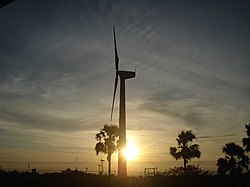 Sunset in the southern part of the village | |
 Palavoor  Palavoor | |
| Coordinates: 08°12′20″N77°34′21″E / 8.20556°N 77.57250°E | |
| Country | |
| State | Tamil Nadu |
| District | Tirunelveli |
| Taluk | Radhapuram |
| Government | |
| • Type | Gram Panchayat |
| Area | |
• Total | 38.85 km2 (15.00 sq mi) |
| Elevation | 53 m (174 ft) |
| Population (2011) | |
• Total | 17,780 |
| • Density | 460/km2 (1,200/sq mi) |
| Languages | |
| • Official | Tamil |
| Time zone | UTC+5:30 (IST) |
| PIN | 627114 |
| STD code | 04637 |
| Vehicle registration | TN-72 |
Palavoor is a village in Radhapuram Taluk, Tirunelveli District, Tamil Nadu, India. It is located near the coast of the Indian Ocean, about 60 kilometres south of the district seat Tirunelveli and 14 kilometres southwest of the taluk seat Radhapuram. In 2011, the village had a total population of 17,780. [1]