| Park Plaza Apartments | |
|---|---|
| The St. George View | |
The Park Plaza Apartments are St. George's Tallest Buildings | |
| Record height | |
| Preceded by | Bellevue West Tower |
| Surpassed by | East Quarter Five (Completed by 2015) |
| General information | |
| Type | Residential |
| Location | 25-35A Park Rd Hurstville, New South Wales |
| Coordinates | 33°57′55.15″S151°06′15.69″E / 33.9653194°S 151.1043583°E Coordinates: 33°57′55.15″S151°06′15.69″E / 33.9653194°S 151.1043583°E |
| Construction started | 1995 |
| Completed | 1996 |
| Height | |
| Antenna spire | 70.2 m (230 ft) |
| Roof |
|
| Technical details | |
| Floor count |
|
| Floor area | 60 m2 (650 sq ft) |
| Lifts/elevators | Both have 3 elevators |
| References | |
| [1] | |
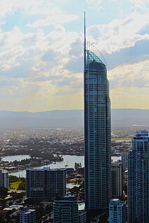
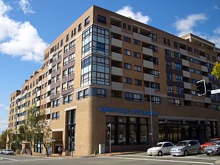
The Park Plaza Apartment Complex is a group of two twin-structured residential buildings in Hurstville, New South Wales. Park Plaza One is the St. George District's tallest structure of any kind, standing at a roof height of 67.2 metres, it is 2 metres taller than the 2nd tallest in St. George, the "Proximity A Building" in Rockdale, New South Wales. Due to its height, it can be clearly seen by several observation decks in Sydney, especially the Sydney Tower observation platform.
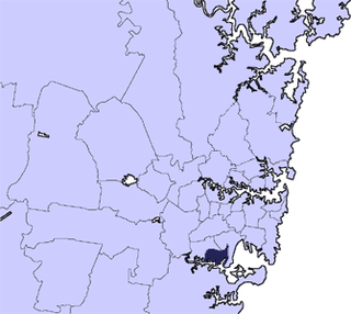
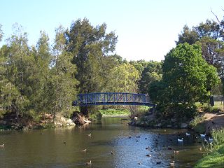
Hurstville is a suburb in southern Sydney, New South Wales, Australia. It is 16 kilometres south of the Sydney CBD and is part of the St George area. Hurstville is the administrative centre of the local government area of the Georges River Council.
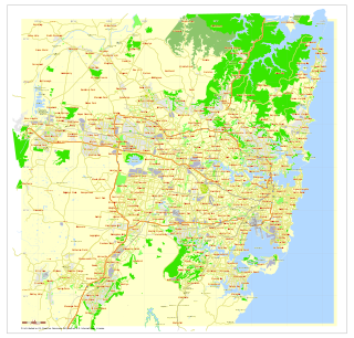
Sydney is the state capital of New South Wales and the most populous city in Australia and Oceania. Located on Australia's east coast, the metropolis surrounds Port Jackson and extends about 70 km (43.5 mi) on its periphery towards the Blue Mountains to the west, Hawkesbury to the north, the Royal National Park to the south and Macarthur to the south-west. Sydney is made up of 658 suburbs, 40 local government areas and 15 contiguous regions. Residents of the city are known as "Sydneysiders". As of June 2017, Sydney's estimated metropolitan population was 5,230,330 and is home to approximately 65% of the state's population.
Sydney Tower is Sydney's tallest structure and the second tallest observation tower in the Southern Hemisphere. The name Sydney Tower has become common in daily usage; however, the tower has been known as the Sydney Tower Eye, AMP Tower, Flower Tower, Glower Tower, Westfield Centrepoint Tower, Centrepoint Tower or just Centrepoint.
Contents
Park Plaza One sits on 25-35A Park Rd on the intersection of Cross Street and Park Road and Park Plaza Two resides on the intersection of Park Road and Woodville Street (25–35B Park Rd.) Access to the buildings is for tenants only and the entrances to the lobbies are under surveillance 24 hours a day. Two entrances currently exist to Park Plaza One. The main entrance on Park Road with automatic doors and a back door on Cross Street with a keyhole. Park Plaza two, however, only has one entrance on Woodville Street.


