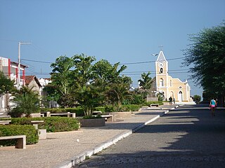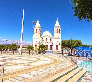
Santa Cruz is a municipality in the state of Rio Grande do Norte in the Northeast region of Brazil. The City is known for its St. Rita of Cascia Statue, The biggest Brazilian statue. As of the IBGE in 2020, the city had a total population of 39,988. The City is located 115 km from Natal, the largest city and capital of Rio Grande do Norte.
São Bento do Trairi is a municipality in the state of Rio Grande do Norte in the Northeast region of Brazil.
São Tomé is a municipality in the state of Rio Grande do Norte in the Northeast region of Brazil.
São Bento do Norte is a municipality in the state of Rio Grande do Norte in the Northeast region of Brazil.

Macau is a municipality in the state of Rio Grande do Norte in the Northeast region of Brazil.

Acari is a municipality in the state of Rio Grande do Norte in the Northeast region of Brazil.
Jardim do Seridó is a municipality in the state of Rio Grande do Norte in the Northeast region of Brazil.

Parelhas is a municipality in the state of Rio Grande do Norte in the Northeast region of Brazil.
Santana do Seridó is a municipality in the state of Rio Grande do Norte in the Northeast region of Brazil.

São José do Seridó is a municipality in the state of Rio Grande do Norte in the Northeast region of Brazil.

Santana do Matos is a municipality in the state of Rio Grande do Norte in the Northeast region of Brazil.
São Vicente is a municipality in the state of Rio Grande do Norte in the Northeast region of Brazil.
Tenente Laurentino Cruz is a municipality in the state of Rio Grande do Norte in the Northeast region of Brazil.
Alto do Rodrigues is a municipality in the state of Rio Grande do Norte in the Northeast region of Brazil.
Ipanguaçu is a municipality in the state of Rio Grande do Norte in the Northeast region of Brazil.

Itajá is a municipality in the state of Rio Grande do Norte in the Northeast region of Brazil.

Pendências is a municipality in the state of Rio Grande do Norte in the Northeast region of Brazil.
Porto do Mangue is a municipality in the state of Rio Grande do Norte in the Northeast region of Brazil.
São Rafael is a municipality in the state of Rio Grande do Norte in the Northeast region of Brazil.
Baraúna is a municipality in the state of Rio Grande do Norte in the Northeast Region of Brazil.


