Penningsveer | |
|---|---|
Town | |
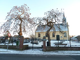
 Windmill De Veer | |
 | |
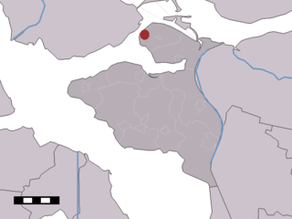
 Penningsveer in the former municipality of Haarlemmerliede en Spaarnwoude | |
| Coordinates: 52°23′34″N4°40′34″E / 52.39278°N 4.67611°E Coordinates: 52°23′34″N4°40′34″E / 52.39278°N 4.67611°E | |
| Country | Netherlands |
| Province | North Holland |
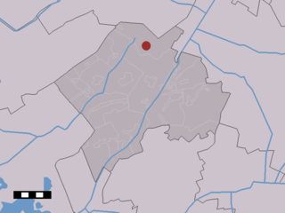
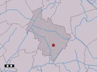
| Municipality | Haarlemmermeer |
| Time zone | UTC+1 (CET) |
| • Summer (DST) | UTC+2 (CEST) |
Penningsveer is a town in the Dutch province of North Holland. It is a part of the municipality of Haarlemmermeer and lies about 3 km (1.9 mi) east of Haarlem. [1] The town is named after the ferry (Dutch:veer) that (for a penny) used to take travellers across the Liede. Travellers over land on their way to Amsterdam would pass through Spaarnwoude before reaching Halfweg. That route became obsolete when the Haarlemmertrekvaart was dug in 1631.

The Netherlands is a country located mainly in Northwestern Europe. The European portion of the Netherlands consists of twelve separate provinces that border Germany to the east, Belgium to the south, and the North Sea to the northwest, with maritime borders in the North Sea with Belgium, Germany and the United Kingdom. Together with three island territories in the Caribbean Sea—Bonaire, Sint Eustatius and Saba— it forms a constituent country of the Kingdom of the Netherlands. The official language is Dutch, but a secondary official language in the province of Friesland is West Frisian.

North Holland is a province of the Netherlands located in the northwestern part of the country. It is situated on the North Sea, north of South Holland and Utrecht, and west of Friesland and Flevoland. In 2015, it had a population of 2,762,163 and a total area of 2,670 km2 (1,030 sq mi).

Haarlemmermeer[ˌɦaːrlɛmərˈmeːr](