Podrujnica

Last updated
Podrujnica
Podrujnica.jpg
Croatia location map.svg
Red pog.svg
Podrujnica
Location of Podrujnica in Croatia
Coordinates: 43°04′N17°35′E / 43.06°N 17.59°E / 43.06; 17.59
CountryFlag of Croatia.svg  Croatia
County Flag of Dubrovnik-Neretva County.png Dubrovnik–Neretva
Municipality Kula Norinska
Area
[1]
  Total4.6 km2 (1.8 sq mi)
Population
 (2021) [2]
  Total109
  Density24/km2 (61/sq mi)
Time zone UTC+1 (CET)
  Summer (DST) UTC+2 (CEST)

Podrujnica is a village in the Kula Norinska municipality.

Contents

Architecture

Chapel and Church of Saint Roch

Church of Saint Roch Crkva sv Roka Podrujnica.jpg
Church of Saint Roch

The 11x6 metre Church of Saint Roch had started construction during the time of pastor Zrinko Brković, and it was completed in 2008 when Nikola Bodrožić was pastor. It replaced the old chapel. [3]

The 8x4 metre concrete chapel had been built during the time of pastor Špirko Vuković. It was blessed by bishop Ivo Gugić on 10 September 1972. The belfry had three bells and a cross. It had continued the tradition of the old chapel of Saint Roch on Rujnica in Desne, from where a large chunk of the populace moved to Podrujnica in the beginning of the 20th century. [4]

Demographics

Historical population
YearPop.±%
188087    
1890142+63.2%
1900116−18.3%
1910202+74.1%
1921410+103.0%
1931222−45.9%
1948248+11.7%
1953267+7.7%
1961289+8.2%
1971213−26.3%
1981169−20.7%
1991122−27.8%
2001142+16.4%
2011135 [5] −4.9%
2021110 [6] −18.5%
Source: Census [7]

[8]

Related Research Articles

<span class="mw-page-title-main">Kula Norinska</span> Municipality of Croatia

Kula Norinska is a village and a municipality in the Dubrovnik-Neretva County in southeastern Croatia.

<span class="mw-page-title-main">Desne</span> Village in Dubrovnik-Neretva, Croatia

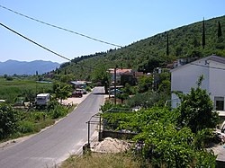
Desne is one of nine villages of the Municipality of Kula Norinska, in the Dubrovnik-Neretva County, on Croatia's Dalmatian coast.

Matijevići is a village in central Croatia, in the municipality of Dvor, Sisak-Moslavina County. It is connected by the D6 highway.

Brotnja is a village in Croatia. It is connected by the D218 highway.

Neteka is a village in Croatia. It is connected by the D218 highway.

Kupirovo is a village in Croatia. It is connected by the D218 highway.

Vučipolje is a village in Croatia. It is connected by the D1 road.

Oraovac is a village in Croatia.

Dugopolje is a village in Croatia.

Osredci is a village in Croatia.

Zaklopac is a village in Croatia.

Cerovac is a village in Croatia.

Omsica is a village in Croatia.

Kom is a village in Croatia.

<span class="mw-page-title-main">Borovci, Kula Norinska</span> Village in Dubrovnik-Neretva County, Croatia

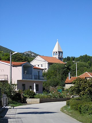
Borovci is a village near Metković in the Kula Norinska municipality with a population of 29.

<span class="mw-page-title-main">Nova Sela, Kula Norinska</span> Village in Dubrovnik–Neretva, Croatia

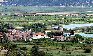
Nova Sela is a village between Metković and Vrgorac in the Kula Norinska municipality.

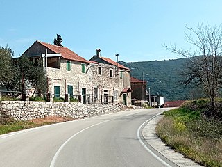
Matijevići is a village in the Kula Norinska municipality, near Metković. It is situated between the village of Kula Norinska and Momići.

<span class="mw-page-title-main">Momići</span> Village in Dubrovnik–Neretva, Croatia

Momići is a village in the Kula Norinska municipality

<span class="mw-page-title-main">Krvavac</span> Village in Dubrovnik–Neretva, Croatia

Krvavac is a village in the Kula Norinska municipality.

<span class="mw-page-title-main">Krvavac II</span> Village in Dubrovnik–Neretva, Croatia

Krvavac II is a village in the Kula Norinska municipality.

References

  1. Register of spatial units of the State Geodetic Administration of the Republic of Croatia. Wikidata   Q119585703.
  2. "Population by Age and Sex, by Settlements, 2021 Census". Census of Population, Households and Dwellings in 2021. Zagreb: Croatian Bureau of Statistics. 2022.
  3. "Kapela Sv. Roka".
  4. "Župa Gospe od Karmela - Bagalovićbagalovic gospa od karmela".
  5. "1. STANOVNIŠTVO PREMA STAROSTI I SPOLU PO NASELJIMA, POPIS 2011". Državni zavod za statistiku Republike Hrvatske. Archived from the original on 2013-11-15.
  6. Popis stanovništva, kućanstava i stanova 2021. – prvi rezultati Popisane osobe, kućanstva i stambene jedinice, prvi rezultati popisa 2021. po naseljima (in Croatian). Državni zavod za statistiku Republike Hrvatske. 2022. Archived from the original on 14 January 2022.
  7. "Dubrovačko-neretvanska županija - broj stanovnika po naseljima". Državni zavod za statistiku Republike Hrvatske. Retrieved 3 January 2022.
  8. In 1856 and 1869 it was counted as part of Desne, as well as a chunk in 1880. In 1921, the village Kula Norinska was counted as part of it.