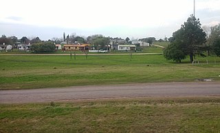
Porvenir Pueblo Porvenir | |
|---|---|
Village | |
 Porvenir Location in Uruguay | |
| Coordinates: 32°23′38″S57°58′4″W / 32.39389°S 57.96778°W Coordinates: 32°23′38″S57°58′4″W / 32.39389°S 57.96778°W | |
| Country | |
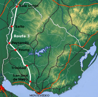
| Department | Paysandú Department |
| Population (2011) | |
| • Total | 1,159 |
| Time zone | UTC -3 |
| Postal code | 60012 |
| Dial plan | +598 472 (+5 digits) |
Porvenir or Pueblo Porvenir is a village in the Paysandú Department of western Uruguay.
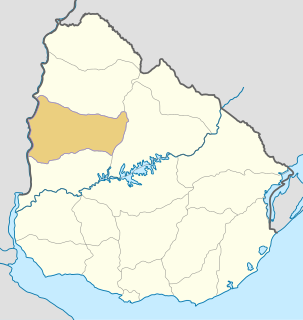
Paysandú Department is a department of the northwestern region of Uruguay. It has an area of 13,922 km2 (5,375 sq mi) and a population of 113,124. Its capital is the city of Paysandú. It borders Salto Department to its north, Tacuarembó Department to its east, Río Negro Department to its south and has the Río Uruguay flowing at its west, separating it from Argentina.

Uruguay, officially the Oriental Republic of Uruguay, is a country in the southeastern region of South America. It borders Argentina to its west and Brazil to its north and east, with the Río de la Plata to the south and the Atlantic Ocean to the southeast. Uruguay is home to an estimated 3.44 million people, of whom 1.8 million live in the metropolitan area of its capital and largest city, Montevideo. With an area of approximately 176,000 square kilometres (68,000 sq mi), Uruguay is geographically the second-smallest nation in South America, after Suriname.