
The Berwyn range is an isolated and sparsely populated area of moorland in the northeast of Wales, roughly bounded by Llangollen in the northeast, Corwen in the northwest, Bala in the southwest, and Oswestry in the southeast.
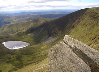
Cadair Berwyn, Cader Berwyn or Craig Uchaf is a mountain summit in north-east Wales with a height of 832 metres (2,730 ft) above sea level. It is the highest point in the Berwyn range, the highest in North East Wales and the highest significant summit in Wales outside the National Parks. Cadair Berwyn and Foel Cedig to the west are the two Marilyns that form the Berwyn range. The undulating plateau of the range also includes a large number of other summits above 2,000 feet (610 m), including satellite summits of Cadair Berwyn and many which are classed as Nuttalls.
Moel Sych with a height of 826.7 metres (2,712 ft) is a subsidiary summit of Cadair Berwyn in north east Wales. It is the third highest summit in the Berwyn range after Cadair Berwyn and Cadair Berwyn North Top.
Foel Wen is a subsidiary summit of Cadair Berwyn in north east Wales. It is one of the summits found on the most easterly of Cadair Berwyn's long south ridges.

Cadair Bronwen is a mountain in North Wales and forms part of the Berwyn range. To the south are the higher Berwyn summits, including Cadair Berwyn. To the north lies Moel yr Henfaes and Moel Fferna, which top the north end of the Berwyn range. Cadair Bronwen used to be accompanied by a Nuttall top, Cadair Bronwen North-East Top, 700 m (2,300 ft). This top was deleted in 2007 after re-surveying.

Mynydd Tarw is a subsidiary summit of Cadair Berwyn in north east Wales. It used to have a top: Rhos which has now been deleted as a Nuttall.

Godor is a top of Cadair Berwyn in north east Wales. It lies as the last summit on a boggy ridge heading south from Cadair Berwyn's summit. The summits of Tomle and Godor North Top are also to be found on the ridge.
Moel yr Ewig is a top of Cadair Berwyn in north east Wales. It lies on a ridge heading south from Cadair Berwyn's summit. The summits of Godor and Godor North Top are to be found further down the ridge.

Tomle is a top of Cadair Berwyn in north east Wales. It is the highest of the summits found on the most easterly of Cadair Berwyn's long south ridges.

Aran Benllyn is a subsidiary summit of Aran Fawddwy in southern Snowdonia, North Wales, Wales, United Kingdom. It is the second highest peak in the Aran mountain range.

Gau Graig is a subsidiary summit of Cadair Idris in the Snowdonia National Park, in Gwynedd, northwest Wales. It lies to the east of Mynydd Moel on a broad grassy plateau. It marks the eastern end of the Cadair Idris ridge.

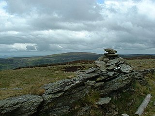
The Milltir Cerrig is a mountain pass in Wales, on the B4391 between Bala and Llangynog (Powys), briefly passing through Denbighshire.
Moel yr Henfaes, also listed by the Nuttall's as Pen Bwlch Llandrillo Top and sometimes known as Moel yr Henfaes, is a mountain in North Wales and forms part of the Berwyn range.
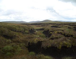
Llechwedd Du is a subsidiary summit of Esgeiriau Gwynion in north Wales. It forms a long peat bog plateau that start at the end of Esgeiriau Gwynion's south ridge, and ends with the higher summit of Moel y Cerrig Duon.

Cadair Berwyn North Top or Cadair Berwyn (Old Top) (height 827 metres (2,713 ft) is a top of Cadair Berwyn in north east Wales. It is jointly the second highest summit in the Berwyn range along with Moel Sych (though an accurate survey in 2014 does suggest Moel Sych may be slightly lower at 826.7 metres (2,712 ft)).
Godor North Top is a top of Cadair Berwyn in north east Wales. It is the lower twin summit of Godor.

Foel Wen South Top is a top of Foel Wen in north east Wales. It is one of the summits found on the most easterly of Cadair Berwyn's long south ridges.

The Afon Iwrch is a river near Llanrhaeadr-ym-Mochnant in Clwyd, Wales. It is a tributary of the River Tanat and is 8.9 miles (14.4 km) in length. Its headwaters lie on the eastern slopes of Cadair Berwyn, the highest peak of the Berwyn range, and the river flows broadly southeastwards to join the River Tanat, itself a tributary of the River Vyrnwy.

Moel Emoel is a hill within the Snowdonia National Park in Gwynedd, North Wales.

Pen Ty-Nant is a hill within the Snowdonia National Park in Gwynedd, North Wales.
