References
- ↑ U.S. Geological Survey Geographic Names Information System: Prosperity, Florida
- ↑ "Holmes County". Jim Forte Postal History. Retrieved June 7, 2015.
- ↑ Morgan, Philip (May 12, 1996). "Take a ride on weird side of Florida". Ocala Star-Banner. pp. 4B. Retrieved June 7, 2015.
Municipalities and communities of Holmes County, Florida, United States | ||
|---|---|---|
| City | 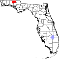 | |
| Towns | ||
| Unincorporated communities | ||