
Adjuntas is a small mountainside town and municipality in Puerto Rico located in the central midwestern portion of the island on the Cordillera Central, north of Yauco, Guayanilla, and Peñuelas; southeast of Utuado; east of Lares and Yauco; and northwest of Ponce. Adjuntas is spread over 16 barrios and Adjuntas Pueblo. Adjuntas is about two hours by car westward from the capital, San Juan.
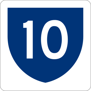
Puerto Rico Highway 10 (PR-10) is a major highway in Puerto Rico. The primary state road connects the city of Ponce in the south coast to Arecibo in the north; it is also the shortest route between the two cities.

Puerto Rico Highway 15 (PR-15), formerly Road No. 4, is a main highway connecting the municipalities of Guayama and Cayey in Puerto Rico. With a length of 25.80 km (16.03 mi), it extends from PR-3 in downtown Guayama to PR-14 in downtown Cayey.
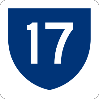
Puerto Rico Highway 17 (PR-17) is a main highway located in Carolina, San Juan and Guaynabo, Puerto Rico. It begins at PR-20 near its terminus with PR-2, and ends in the Luis Muñoz Marín International Airport in Carolina. It is known as Jesús T. Piñero Avenue along its entire length.
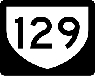
Puerto Rico Highway 129 (PR-129) is a north–south highway in North-Central Puerto Rico, connecting the town of Lares with Arecibo. It crosses the northern karst country of the island. When traveling from the northern coast of Puerto Rico, PR-129 can be used to reach the Arecibo Observatory and the Camuy River Caverns Park.
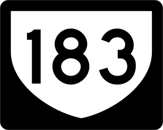
Puerto Rico Highway 183 (PR-183) is a main highway which begins in the downtown/business area of Caguas, near Puerto Rico Highway 1 and ends in Puerto Rico Highway 198 in Las Piedras. Measuring near 25 kilometers, it is real rural parallel road of Puerto Rico Highway 30, though it goes significantly south of the latter and the only municipality it does not go through which PR-30 does in Humacao.
Puerto Rico Highway 123 (PR-123) is a secondary highway that connects the city Arecibo to the city of Ponce. It runs through the towns of Utuado and Adjuntas, before reaching Ponce. A parallel road is being built, PR-10, that is expected to take on most of the traffic currently using PR-123.
The Ruta Panorámica, officially the Ruta Panorámica Luis Muñoz Marín, is a 167-mile (269 km) network of some 40 secondary roads which traverse the island of Puerto Rico from west to east along its Cordillera Central. Most of the route consists of three roads, PR-105, PR-143, and PR-182. The route starts in Mayagüez and ends in Maunabo. The first major segment of the route runs from Mayagüez to Maricao as Route 105, then from Adjuntas to Aibonito as Route 143, and then follows Route 182 toward Maunabo.

The Las Cabañas Bridge is a historic highway bridge in Adjuntas municipality, Puerto Rico. Built in 1919 to provide access to a key coffee-producing region, it was financed by nearby plantations through public subscription. Designer Rafael Nones and builder Félix Benítez Rexach, two of the most prominent figures in Puerto Rican bridge construction in the early 20th century, used a unique combination of steel and concrete technologies to produce a girder design unlike any other on the island and possibly beyond.

Avenida Juan Ponce de León, coextensive as Puerto Rico Highway 25 (PR-25) along its entire length, is one of the main thoroughfares in San Juan, Puerto Rico.
Puerto Rico Highway 165 (PR-165) is the road that goes from Naranjito to Guaynabo. The highway passes by Toa Alta, Toa Baja, Dorado, Levittown, Cataño and Guaynabo.

Puerto Rico Highway 124 (PR-124) is a rural road that connects from Lares to Las Marías.
Puerto Rico Highway 159 (PR-159) is the main road from Morovis to Toa Alta, passing through the municipality of Corozal in Puerto Rico. This road begins in downtown Morovis, from its intersection with PR-155 and PR-6623 to its junction with PR-165 in Toa Alta. It is about 21 km (13 mi) long.

Puerto Rico Highway 143 (PR-143) is a secondary highway that connects the town of Adjuntas to the town of Barranquitas.

Puerto Rico Highway 503 (PR-503), also called Carretera Tibes, is a tertiary state road that connects Barrio Consejo, in the southwestern part of the municipality of Utuado, to Barrio Tercero in the city of Ponce, and ending at Museo de la Historia de Ponce, one block east of the center of the city at Plaza Las Delicias.

Puerto Rico Highway 518 (PR-518) is a rural road located entirely in the municipality of Adjuntas, Puerto Rico. With a length of 12.1 kilometers (7.5 mi), it begins at its intersection with PR-123 in downtown Adjuntas and ends at its junction with PR-131 in Guilarte barrio.
Puerto Rico Highway 525 (PR-525) is a rural road located entirely in the municipality of Adjuntas, Puerto Rico. With a length of 5.8 kilometers (3.6 mi), it begins at its intersection with PR-135 in Guayo barrio and ends at its junction with PR-131 in Guilarte barrio.

Puerto Rico Highway 131 (PR-131) is a road located in Adjuntas, Puerto Rico. It begins at its intersection with PR-135 in Barrio Yayales and ends at Guilarte Forest near Peñuelas municipal limit. Its segment between PR-525 and PR-518 is part of the Ruta Panorámica.

Puerto Rico Highway 128 (PR-128) is a road that travels from Yauco, Puerto Rico to Lares. This highway extends from PR-2 in Yauco and ends at PR-111 near downtown Lares.

Puerto Rico Highway 568 (PR-568) is a road that travels from the municipality of Orocovis to Corozal in Puerto Rico. With a length of 30.1 km (18.7 mi), it begins at its intersection with PR-5155 in downtown Orocovis and ends at PR-159 in western Corozal.


 Las Cabañas Bridge in 2017
 Las Cabañas Bridge
