Orocovis is a town and municipality of Puerto Rico located in the center of the island. Founded by Juan Rivera de Santiago in 1825. Orocovis is spread over 17 barrios. It is part of the San Juan-Caguas-Guaynabo Metropolitan Statistical Area. It's located north of Villalba and Coamo; south of Morovis and Corozal; southeast of Ciales; east of Jayuya; and west of Barranquitas
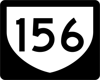
Puerto Rico Highway 156 (PR-156) is a long east–west highway which connects Caguas to Orocovis, passing through Aguas Buenas, Comerío and Barranquitas. This route extends from its junction with PR-1 in downtown Caguas to PR-5155 in downtown Orocovis.

Puerto Rico Highway 185 (PR-185) is a main highway that connects Canóvanas, Puerto Rico to Juncos, Puerto Rico and is about 25 kilometers long. It begins in downtown of Canóvanas, very close to Puerto Rico Highway 3 and ends in Puerto Rico Highway 952 and Puerto Rico Highway 30 in Juncos.
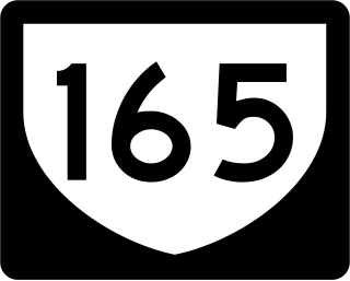
Puerto Rico Highway 165 (PR-165) is the road that goes from Naranjito to Guaynabo. The highway passes by Toa Alta, Toa Baja, Dorado, Levittown, Cataño and Guaynabo.
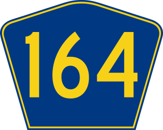
Puerto Rico Highway 164 (PR-164) is the main road from Naranjito to Corozal in Puerto Rico. It begins at the intersection of PR-167 and PR-148 in eastern Naranjito, passing through downtown. Then it goes to Corozal from its junction with PR-5 and PR-152 until reaching PR-159 near downtown Corozal. This road is 16.4 km (10.2 mi) in length.
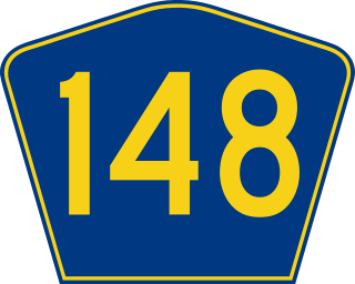
Puerto Rico Highway 148 (PR-148) is a short north–south road that connects from PR-5 to PR-167 in Naranjito, Puerto Rico.
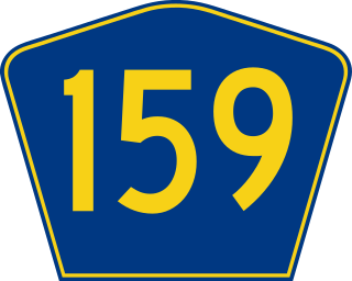
Puerto Rico Highway 159 (PR-159) is the main road from Morovis to Toa Alta, passing through the municipality of Corozal in Puerto Rico. This road begins in downtown Morovis, from its intersection with PR-155 and PR-6623 to its junction with PR-165 in Toa Alta. It is about 21 km (13 mi) long.

Puerto Rico Highway 891 (PR-891) is the road that goes to downtown Corozal, the administrative center of Corozal, Puerto Rico. With a length of 1.8 km (1.1 mi), this road can be seen as the Alt 159, since it was the original alignment of PR-159 through the municipal center.

Puerto Rico Highway 139 (PR-139) is a two-way secondary highway in the municipality of Ponce in Puerto Rico. With a length of 25.2 km (15.7 mi), it extends from the interchange of PR-10 and PR-14 located in Barrio Machuelo Arriba to the junction with PR-143 on the Ponce–Jayuya municipal limit.

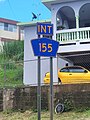
Puerto Rico Highway 155 (PR-155) is a rural road that goes from Coamo, Puerto Rico to Vega Baja through Orocovis and Morovis. It extends from PR-14 in downtown Coamo to PR-2 east of downtown Vega Baja.

Puerto Rico Highway 152 (PR-152) is a rural road that travels from Barranquitas to Naranjito in Puerto Rico. This road extends from PR-156 in downtown Barranquitas and ends at its junction with PR-5 and PR-164 near downtown Naranjito.

Puerto Rico Highway 174 (PR-174) is a road that travels from Bayamón, Puerto Rico to Aguas Buenas. This highway begins at PR-5 south of downtown Bayamón and ends at PR-156 in downtown Aguas Buenas.

Puerto Rico Highway 134 (PR-134) is a rural road that travels from Lares, Puerto Rico to Hatillo. This highway begins at its intersection with PR-111 in barrio Lares and ends at its junction with PR-129 in Campo Alegre.

Puerto Rico Highway 190 (PR-190) is a road located in Carolina, Puerto Rico. This highway begins at its intersection with PR-26 in Cangrejo Arriba and ends at its junction with PR-3 and PR-8887 between Sabana Abajo and San Antón barrios.

Puerto Rico Highway 568 (PR-568) is a road that travels from the municipality of Orocovis to Corozal in Puerto Rico. With a length of 30.1 km (18.7 mi), it begins at its intersection with PR-5155 in downtown Orocovis and ends at PR-159 in western Corozal.

Puerto Rico Highway 805 (PR-805) is an east–west road located in the municipality of Corozal in Puerto Rico. With a length of 7.3 km (4.5 mi), it extends from its intersection with PR-568 near the Cuchillas boundary, passing through Negros barrio until its junction with PR-803 in Palos Blancos area.

Puerto Rico Highway 818 (PR-818) is an east–west road located in the municipality of Corozal in Puerto Rico. With a length of 4.3 km (2.7 mi), it begins at its junction with PR-159 in Barrio Pueblo, and ends at Baja del Palo sector in Barrio Cibuco.

Puerto Rico Highway 869 (PR-869) is a north–south road located in Cataño, Puerto Rico. It begins at its intersection with PR-5 and PR-22 near Bayamón municipal limit and ends at its junction with PR-165 near Toa Baja municipal limit.

Puerto Rico Highway 633 (PR-633) is an east–west rural road located between the municipalities of Ciales and Morovis in Puerto Rico. With a length of 4.3 km (2.7 mi), it begins at its intersection with PR-149 in Hato Viejo barrio and ends at its junction with PR-155 in Barahona.

Puerto Rico Highway 567 (PR-567) is a north–south rural road located between the municipalities of Orocovis and Morovis, Puerto Rico. It extends from its junction with PR-157 on the Barros–Damián Arriba line in Orocovis, passing through Vaga, Pasto and San Lorenzo barrios until its end at its intersection with PR-145 and PR-6622 in the Torrecillas–Morovis Norte line in Morovis.

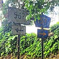
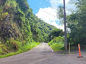 Heading west between Collores and Damián Abajo barrios, Orocovis
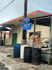 Eastbound sign in Barros, Orocovis