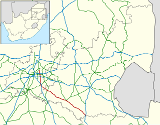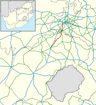
The N1 is a national route in South Africa that runs from Cape Town through Bloemfontein, Johannesburg, Pretoria and Polokwane to Beit Bridge on the border with Zimbabwe. It forms the first section of the famed Cape to Cairo Road.

The R23 is a provincial route in South Africa that links Benoni with Volksrust via Brakpan, Heidelberg and Standerton.

The R26 is a provincial route in Free State, South Africa that connects Rouxville with Villiers via Zastron, Wepener, Ladybrand, Ficksburg, Bethlehem & Reitz.

The R28 is a provincial route in Gauteng, South Africa that connects Krugersdorp with Vereeniging via Randfontein. The R28 used to connect with Pretoria, but that section of the road is now part of the N14.

The R30 is a provincial route in South Africa that connects Bloemfontein with Rustenburg via Brandfort, Welkom, Bothaville, Klerksdorp and Ventersdorp. The southern part of the route is tolled, as the R30 forms the first section of the ZR Mahabane Toll Route, with the Brandfort Toll Plaza found 10 kilometres north of its southern terminus junction with the N1 national route. The tolled portion ends at the junction with the R730.

The R33 is a provincial route in South Africa that connects Pietermaritzburg with Lephalale via Greytown, Paulpietersburg, Carolina, Belfast and Vaalwater. It is a very long road, passing through 3 provinces.

The R34 is a long provincial route in South Africa that connects Vryburg with Richards Bay via Kroonstad and Newcastle. It passes through three provinces, North West, the Free State and KwaZulu-Natal.

The R42 is a provincial route in South Africa that connects Vanderbijlpark with Bronkhorstspruit via Vereeniging, Heidelberg, Nigel and Delmas.

The R54 is a provincial route in South Africa that connects Potchefstroom with Villiers via Vereeniging.

The R59 is a provincial route in South Africa that connects Hertzogville with Alberton via Bothaville, Parys and Vereeniging. The R59 is a freeway from the R57 Junction in Sasolburg until the N12 Reading Interchange in Alberton, signposted as the Sybrand van Niekerk Freeway.

The R76 is a provincial route in Free State, South Africa that connects Orkney with Bethlehem via Kroonstad.

The R82 is a provincial route in South Africa that connects Johannesburg with Kroonstad via Vereeniging and Sasolburg. It starts just south of the M1 Johannesburg Municipal Highway's interchange with the N12 Southern Bypass, going south, meeting the R59, R54, R42 & R28 routes at Vereeniging before crossing the Vaal River into the Free State & proceeding to Kroonstad. It is an alternative, but longer route to the N1 national route between Johannesburg & Kroonstad.
The R103 is a Regional Route in South Africa that is the designation for some of the old sections of roads that were previously the N3, prior to upgrading. It only has 3 sections, from Hillcrest to Ladysmith, from Warden to Villiers and from Heidelberg to Johannesburg.

The N12 is a national route in South Africa which runs from George through Beaufort West, Kimberley, Klerksdorp and Johannesburg to eMalahleni.

The N11 is a national route in South Africa which runs from the Botswana border at Groblersbrug, through Mokopane, Middelburg, Ermelo and Newcastle to end at the N3 just after Ladysmith.
The R553 is a Regional Route in Gauteng, South Africa that connects Johannesburg with Vanderbijlpark via Eldorado Park, Ennerdale, Evaton and Sebokeng. It is known as the Golden Highway for much of its length.
The R707 is a Regional Route in Free State, South Africa that connects Frankfort with Marquard via Petrus Steyn, Lindley, Arlington and Senekal.
The R708 is a Regional Route in South Africa that connects Jan Kempdorp in the Northern Cape with Clocolan in the Free State via Christiana, Hertzogville, Bultfontein, Theunissen, Winburg and Marquard.
The R716 is a Regional Route in South Africa that connects Vanderbijlpark with the R26 between Villiers and Frankfort. It passes through Deneysville and Oranjeville.
The M68 is a short metropolitan route in the City of Johannesburg, South Africa. It connects the south-western part of Soweto with Mulbarton via Diepkloof, Southgate and Glenvista.


