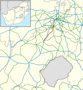
Arlington is a small farming town in the Free State province of South Africa. It was established as an important railway link between Lindley and Senekal.

Petrus Steyn is a small farming town between Tweeling and Kroonstad, 35 km north-east of Lindley in the Free State province of South Africa. It is at the centre of an agricultural area known for wheat, maize, sunflower, potato, cattle, hunting, sheep production and forms part of the breadbasket in the Free State. It is the highest town above sea level in the Free State. Farming industries in Petrus Steyn provide potatoes worldwide.

The R26 is a provincial route in Free State, South Africa that connects Rouxville with Villiers via Zastron, Wepener, Ladybrand, Ficksburg, Bethlehem & Reitz.

The R33 is a provincial route in South Africa that connects Pietermaritzburg with Lephalale via Greytown, Paulpietersburg, Carolina, Belfast and Vaalwater. It is a very long road, passing through 3 provinces.

The R34 is a long provincial route in South Africa that connects Vryburg with Richards Bay via Kroonstad and Newcastle. It passes through three provinces, North West, the Free State and KwaZulu-Natal.

The R42 is a provincial route in South Africa that connects Vanderbijlpark with Bronkhorstspruit via Vereeniging, Heidelberg, Nigel and Delmas.

The R57 is a provincial route in South Africa that connects Vanderbijlpark with Phuthaditjhaba via Sasolburg, Heilbron and Reitz.

The R59 is a provincial route in South Africa that connects Hertzogville with Alberton via Bothaville, Parys and Vereeniging. The R59 is a freeway from the R57 Junction in Sasolburg until the N12 Reading Interchange in Alberton, signposted as the Sybrand van Niekerk Freeway.

The R61 is a long provincial route in South Africa that connects Beaufort West with Port Shepstone via Graaff-Reinet, Komani, Mthatha and Port Edward.

The R70 is a provincial route in the Free State Province, South Africa that connects Odendaalsrus with Ficksburg via Ventersburg and Senekal.

The R74 is a provincial route in South Africa that connects Harrismith with KwaDukuza on the coast, via Oliviershoek Pass, Bergville, Winterton, Colenso, Weenen and Greytown.

The R76 is a provincial route in Free State, South Africa that connects Orkney with Bethlehem via Kroonstad.

The R82 is a provincial route in South Africa that connects Johannesburg with Kroonstad via Vereeniging and Sasolburg. It starts just south of the M1 Johannesburg Municipal Highway's interchange with the N12 Southern Bypass, going south, meeting the R59, R54, R42 & R28 routes at Vereeniging before crossing the Vaal River into the Free State & proceeding to Kroonstad. It is an alternative, but longer route to the N1 national route between Johannesburg & Kroonstad.

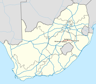
The N5 is a national route in South Africa that connects the N1 at Winburg with the N3 at Harrismith, via Senekal, Paul Roux and Bethlehem.
The R553 is a Regional Route in Gauteng, South Africa that connects Johannesburg with Vanderbijlpark via Eldorado Park, Ennerdale, Evaton and Sebokeng. It is known as the Golden Highway for much of its length.
The R708 is a Regional Route in South Africa that connects Jan Kempdorp in the Northern Cape with Clocolan in the Free State via Christiana, Hertzogville, Bultfontein, Theunissen, Winburg and Marquard.

The R712 is a Regional Route in South Africa that connects Phuthaditjhaba with Bethlehem via the Golden Gate Highlands National Park and Clarens.
The R720 is a Regional Route in Free State, South Africa that connects Vredefort with Senekal via Koppies, Edenville and Steynsrus.
The R730 is a Regional Route in Free State, South Africa. The entire 40-kilometre route is part of the ZR Mahabane Toll Route maintained by the South African National Roads Agency, which goes from Bloemfontein to Kroonstad. Although there are no tollgates on this stretch at the moment, it is labelled as a toll road to the near public and to motorists using the road.


