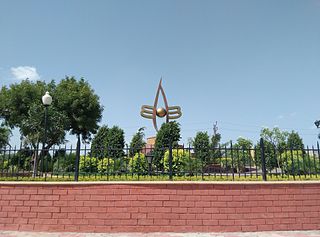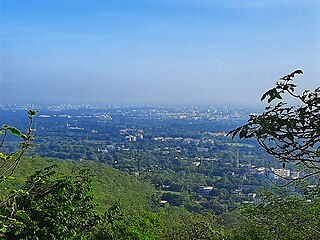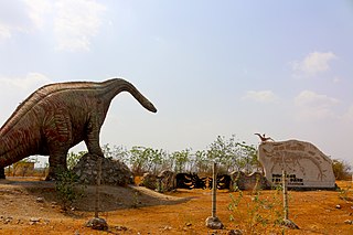
Nathdwara is a city in the Rajsamand district of the state of Rajasthan, India. It is located in the Aravalli hills, on the banks of the Banas River and is 48 kilometres north-east of Udaipur. Shrinathji, is a swarup of lord Krishna which resembles his 7-year-old "infant" incarnation of Krishna. The deity was originally worshiped at Jatpura, Mathura and was shifted in the year 1672 from Govardhan hill, near Mathura along holy river Yamuna after being retained at Agra for almost six months. Literally, Nathdwara means 'Gateway to Shrinathji (God)'. Nathdwara is a significant Vaishnavite shrine pertaining to the Pushti Marg or the Vallabh Sampradaya or the Shuddha Advaita founded by Vallabha Acharya, revered mainly by people of Gujarat and Rajasthan, among others. Vitthal Nathji, son of Vallabhacharya institutionalised the worship of Shrinathji at Nathdwara. Today also the Royal king family of Nathdwara belongs to the lineage of vallabhacharya mahaprabhuji. They are called Tilkayat or tikaet of Nathdwara.

Valsad, historically known as Bulsar, is a city and a municipality in Valsad district of the Indian state of Gujarat. It is the district headquarters of Valsad district. Valsad is located south of Navsari and shares border with Maharashtra and the union territories of Dadra and Nagar Haveli and Daman and Diu in the south.
Vallabh Vidyanagar, also known as V.V.Nagar, is a town and a Anand Municipal Corporation in Anand district in the Indian state of Gujarat. It is located between Ahmedabad and Vadodara, 6 km (3.7 mi) from the town of Anand. V.V.Nagar is renowned as an educational hub of Gujarat and is home to the prestigious Sardar Patel University.

Anand is the administrative centre of Anand District in the state of Gujarat, India. It is administered by Anand Municipal Corporation. It is part of the region known as Charotar, consisting of Anand and Kheda districts.

Anand District is an administrative district of Gujarat state in western India and whose popular nickname is Charotar. It was carved out of the Kheda district in 1997. Anand is the administrative headquarters of the district. It is bounded by Kheda District to the north, Vadodara District to the east, Ahmedabad District to the west, and the Gulf of Khambhat to the south. Major towns are Umreth, Khambhat, Karamsad, Tarapur, Petlad, Borsad and Sojitra.
Jobat is a city and a nagar parishad municipality in Alirajpur district in the Indian state of Madhya Pradesh.
Dhandhuka is a city and a municipality in the Ahmedabad district in the state of Gujarat, India. Moreover, it is a part of the Bhal region.
Gariadhar is a city and a municipality in Bhavnagar district in the state of Gujarat, India.
Maktampur is a census town in Bharuch district in the Indian state of Gujarat.
Nandesari is a census town in Vadodara district in the Indian state of Gujarat.
Nandesari INA is a town and an industrial notified area in Vadodara district in the Indian state of Gujarat.

Sadri is a municipality in the Pali district of Rajasthan, India. It is considered the gateway to Marwar from Mewar. Sadri is one of the main places of worship for the Jain community. Ranakpur Temple and Shri Parshuram Mahadev Mandir are located in Sadri, which became a municipality in 1961. Bhadras is located 3 km from Sadri along the Suhai river.
Santrampur, is a town in Mahisagar District, Gujarat, India. It serves as the administrative headquarters for Santrampur tehsil and is located on the banks of the Suki river in the lap of the Aravalli hills. It is 155 km (96 mi) from the state capital at Gandhinagar.
Songadh is a taluka in Tapi district in the Indian state of Gujarat.
Surgana is a census town and taluka in Nashik District in the Indian state of Maharashtra.
Ukai is a census town in Tapi district in the Indian state of Gujarat.
Utran is a census town situated in Surat district alongside Tapi river in the Indian state of Gujarat. Utran's Nearest airport is Surat. Nearest railway station is Utran Railway station.the first railway in Gujarat started from Utran to ankleshwar.
Vartej is a census town in Bhavnagar district in the Indian state of Gujarat.
Vyara is a town and the district headquarters of the Tapi district in the Indian state of Gujarat. It is 65 kilometres from Surat.

Balasinor, also known as Vadasinor, is a city located in the Mahisagar district of Gujarat, India. The city was formerly part of Balasinor State, a princely state ruled by the Babi dynasty, from September 1758 until its accession to India in June 1948.


